109 miles of Paddling Heaven
In April 2021, I spent three days and two nights solo paddling on Georgia’s Altamaha River. Below is a gallery of images and videos that share a bit of the journey. But they fall far short of capturing the incredible beauty and tranquility I experienced.
I had two main reasons for setting off on this trip. The first was to see firsthand where the watershed I live in transitions to the ocean. The second was to prepare for a 340-mile race on the Missouri River that begins on the morning of Tuesday, July 20, 2021 and ends Friday, July 23. You can track my progress live at the Race Owl website and/or come back to Regenerators.earth soon to read about what it was like.
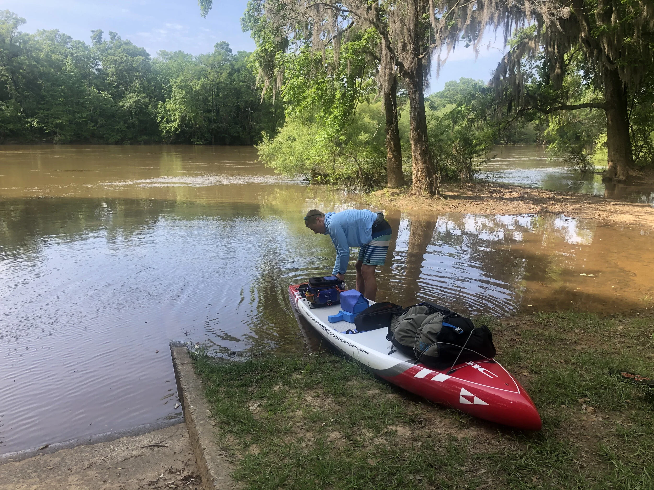
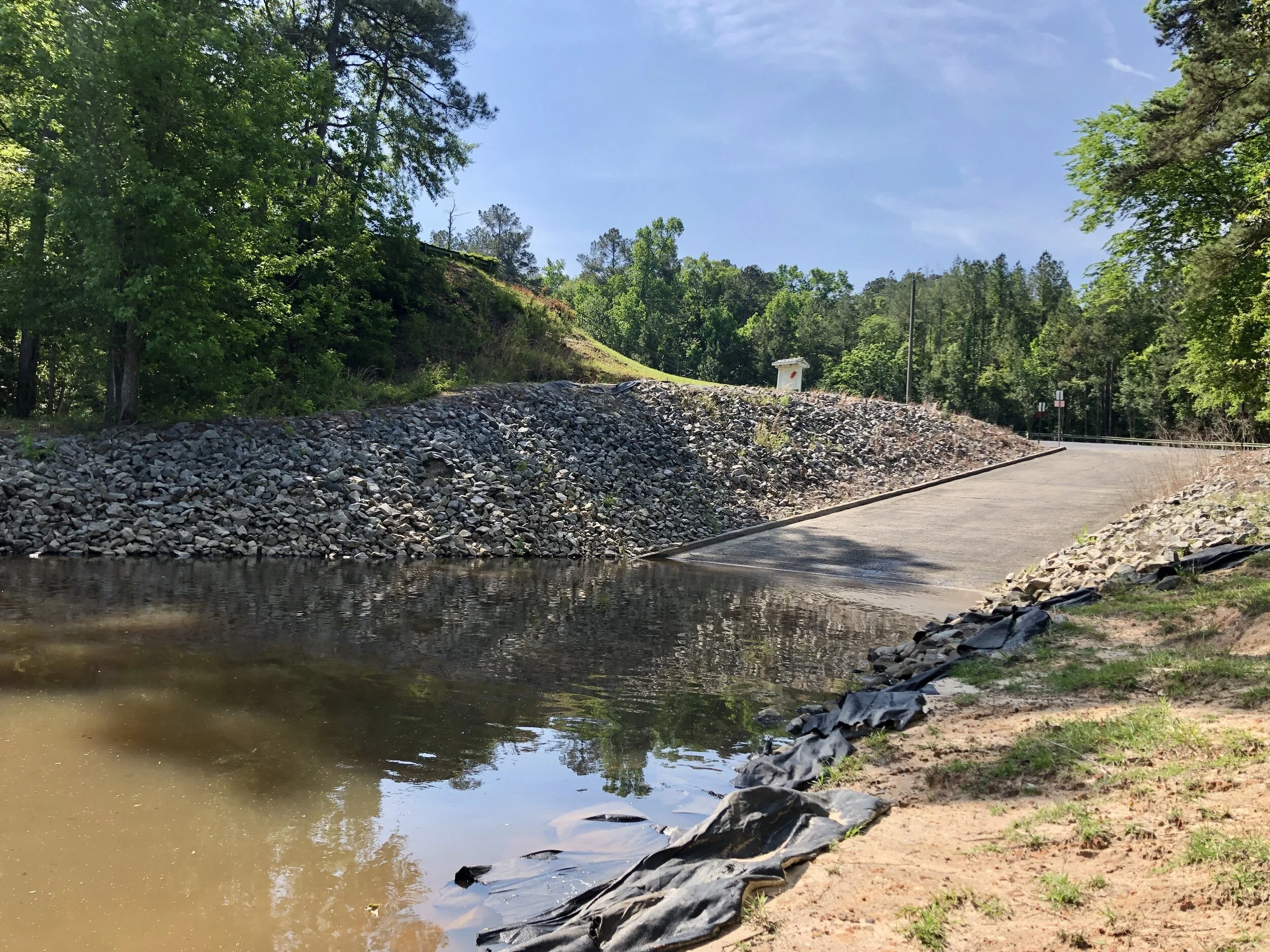
Getting ready to launch from the Bell's Ferry Landing on the Oconee River. Three miles downstream the Oconee joins the Ocmulgee River to form the even-bigger Altamaha.
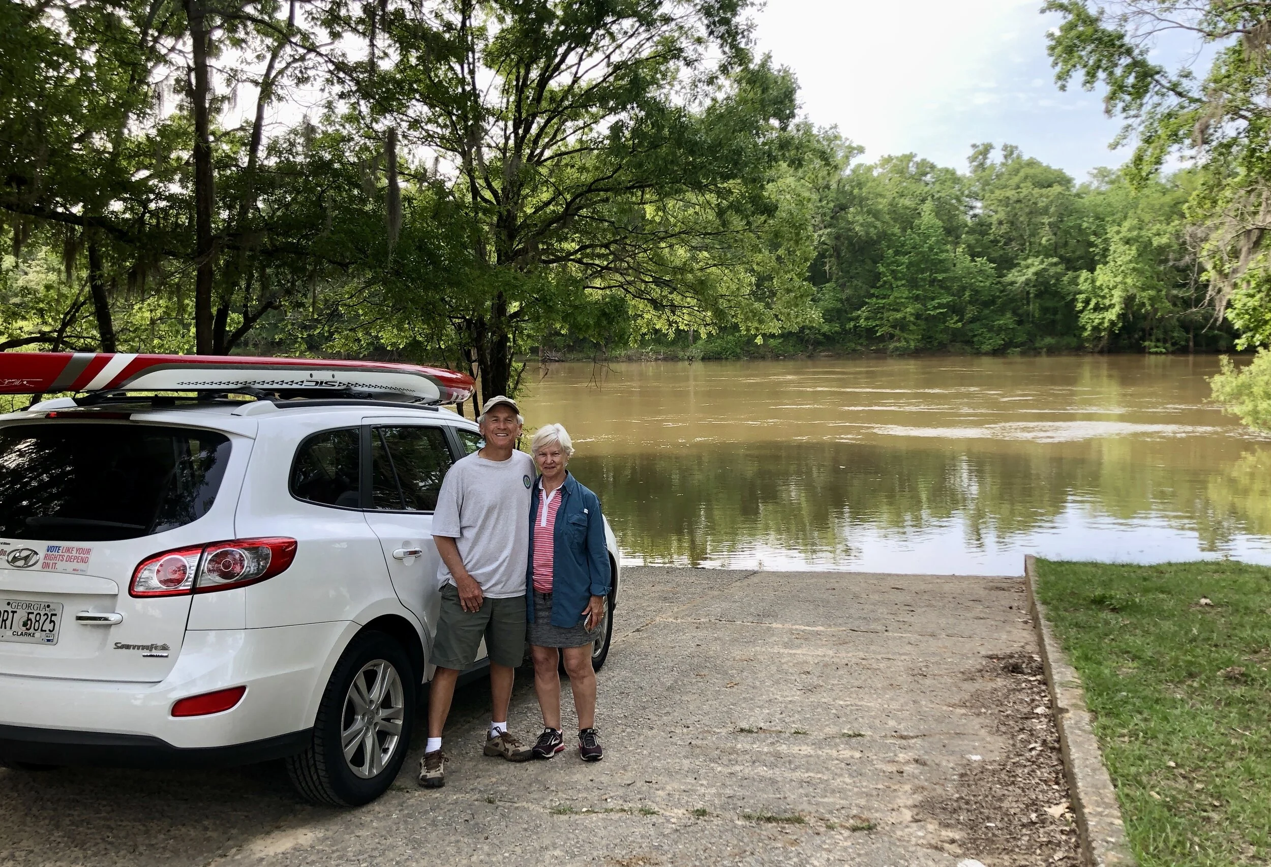
It's great to have retired parents who like to travel (and help out)!
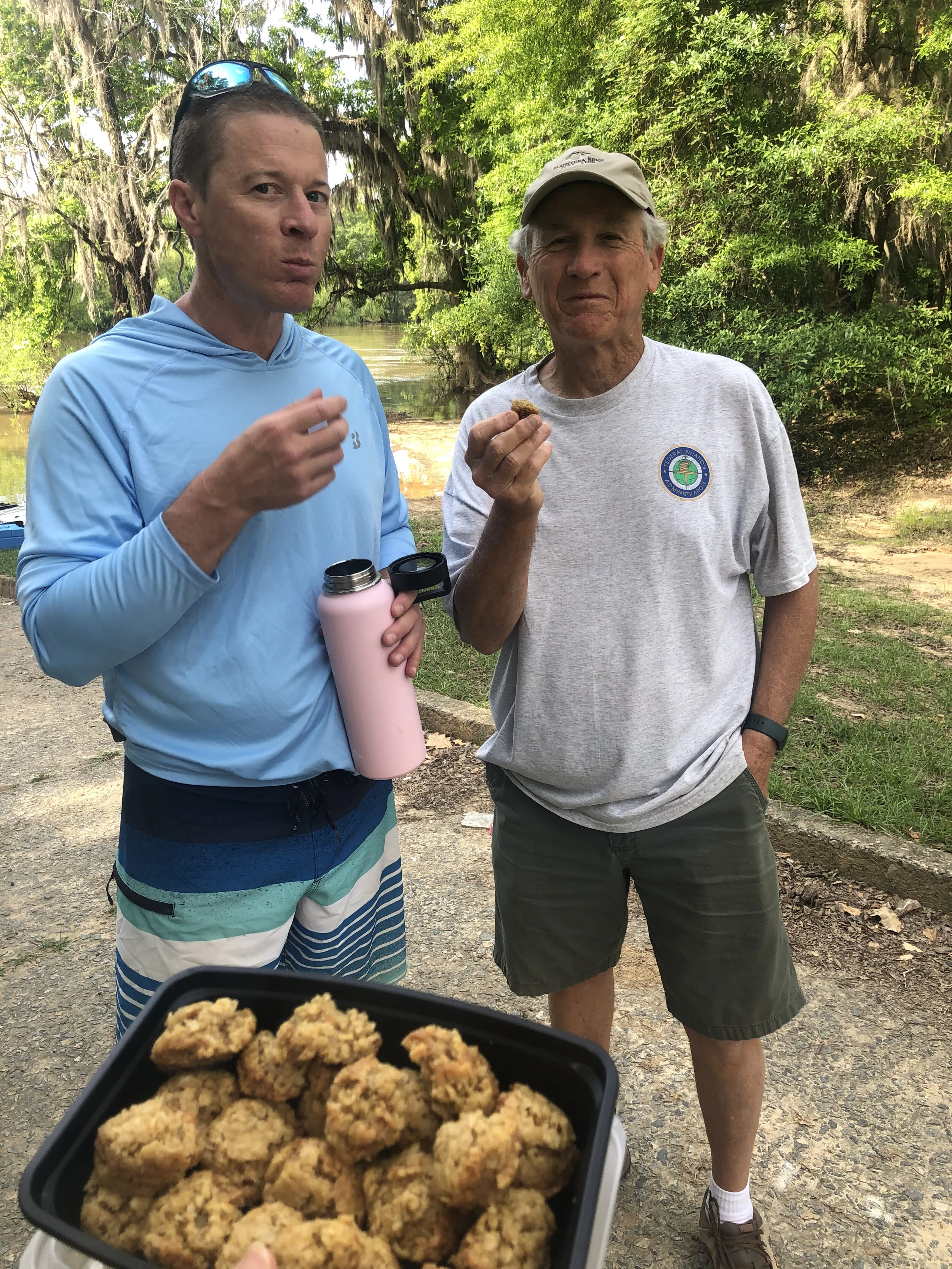
A few last-minute cookies with dad to fuel the paddle engine.
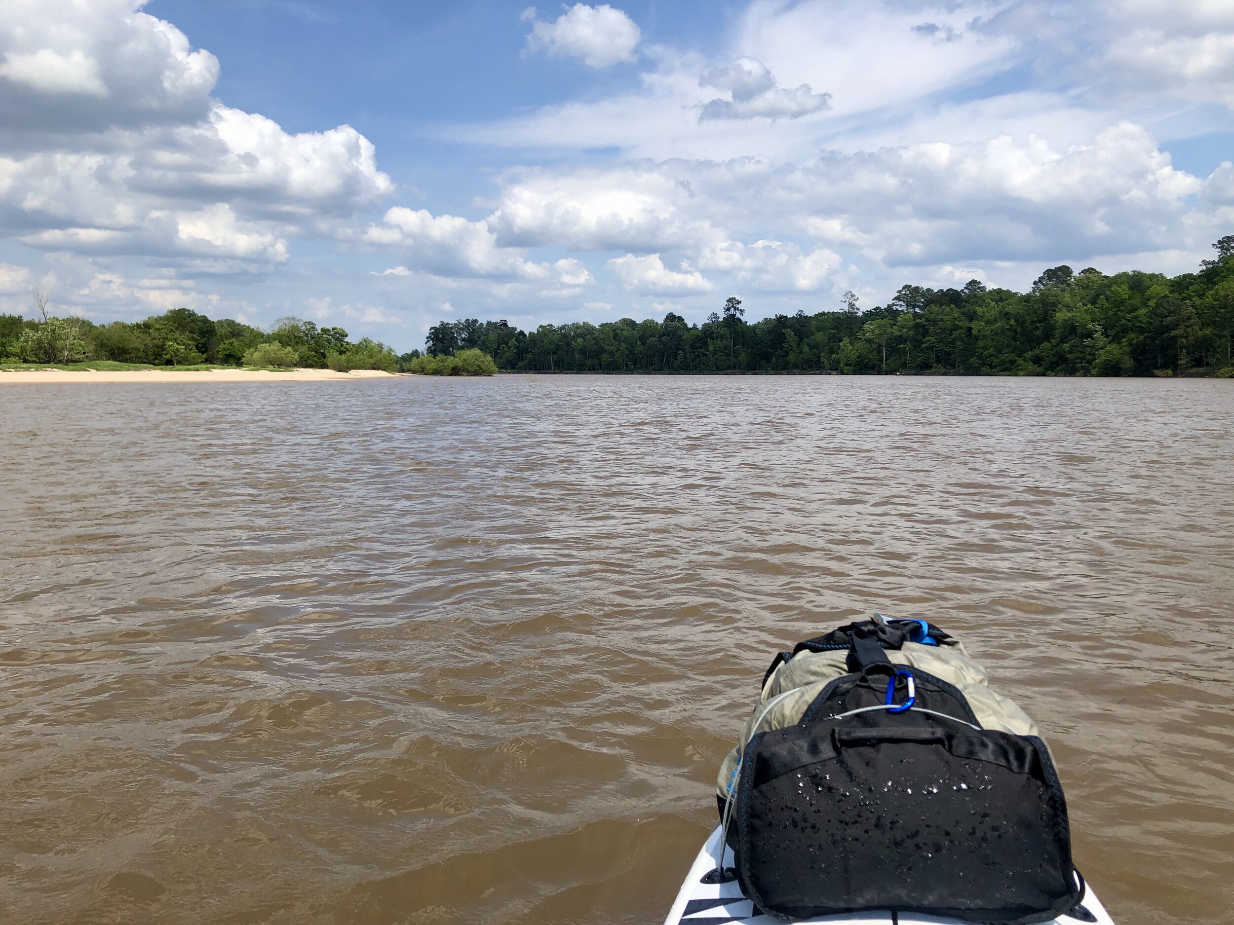
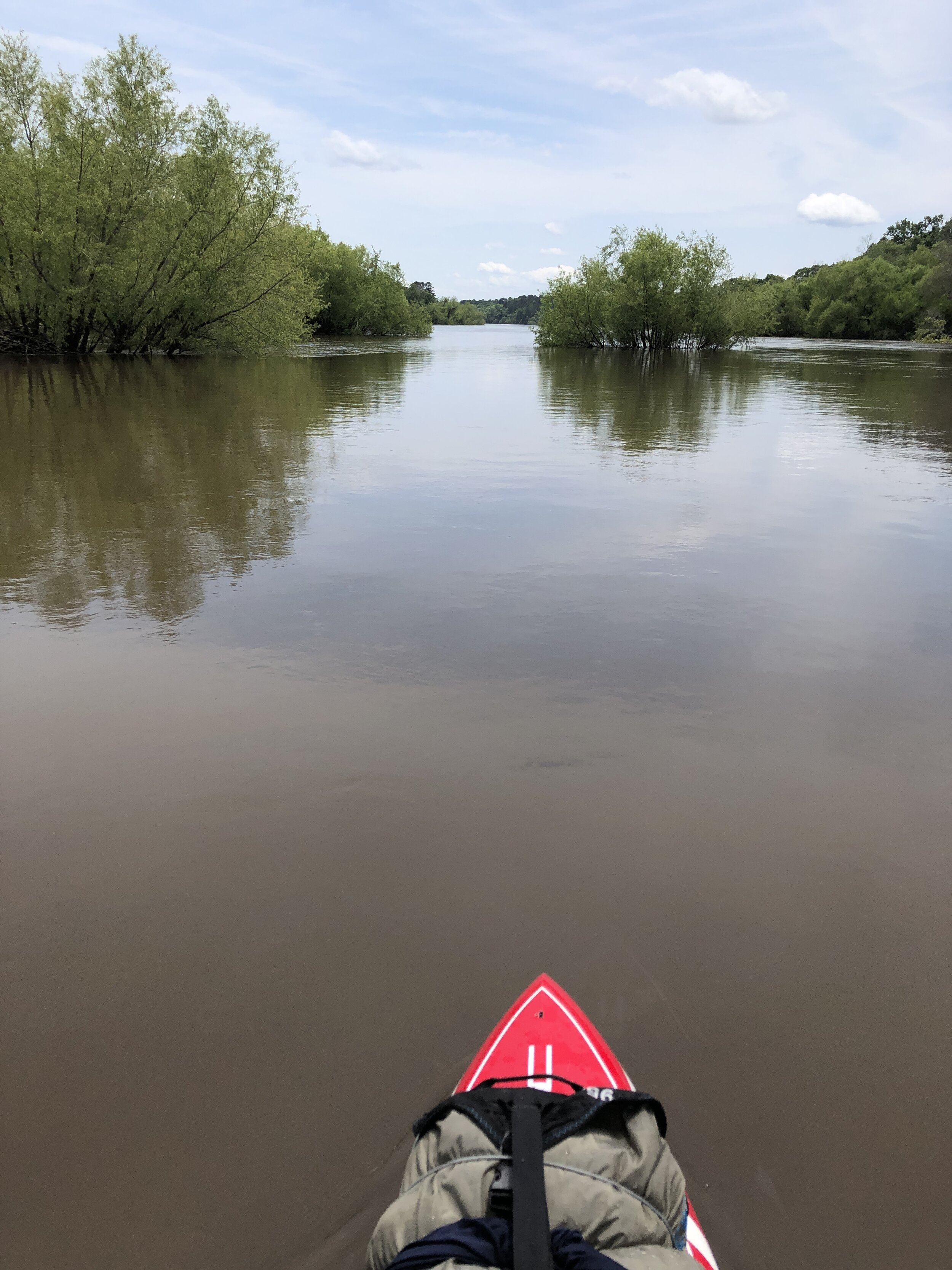
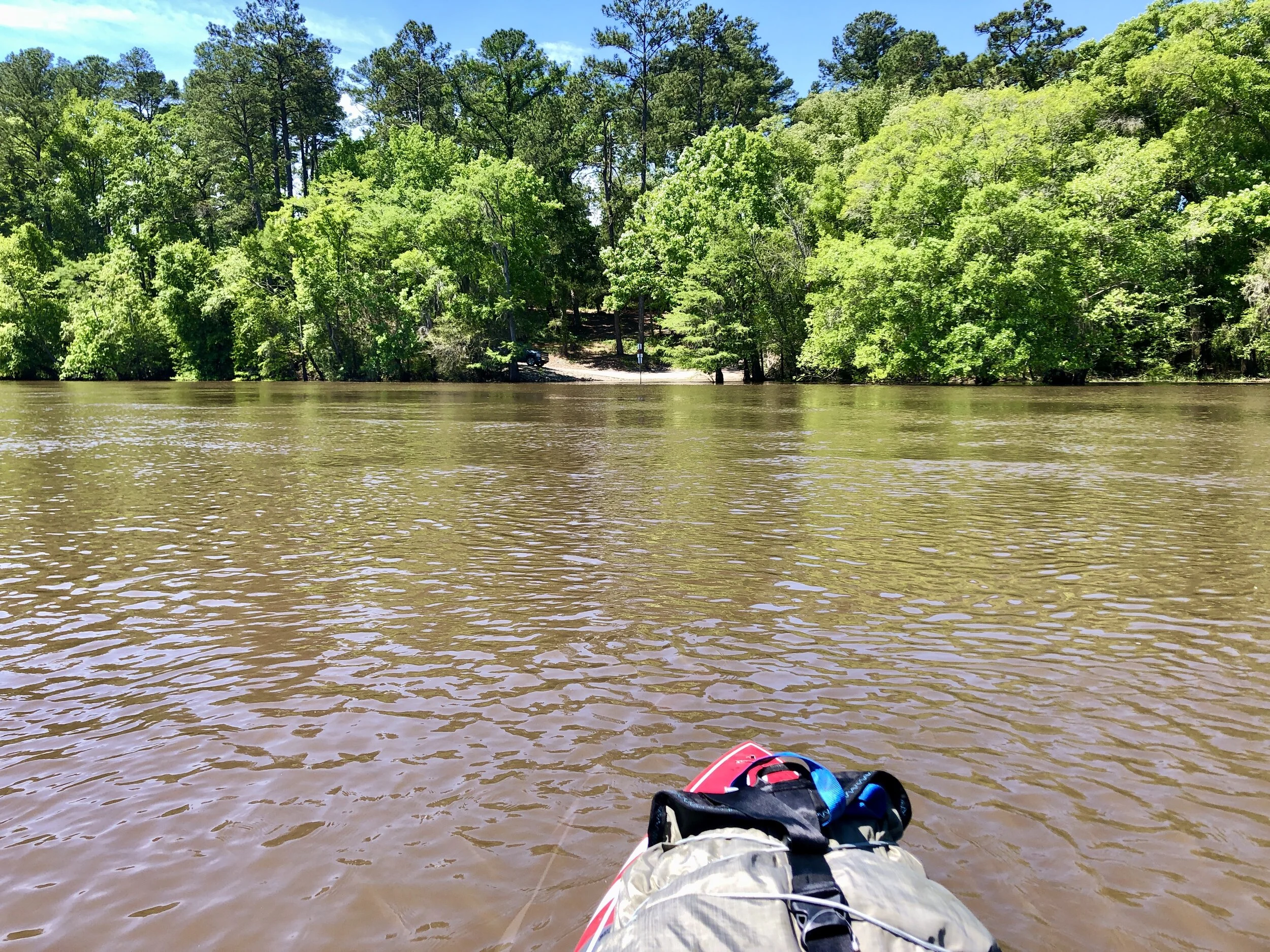
The river was high (and rising) from several days of hard rain upstream in Northeast Georgia.
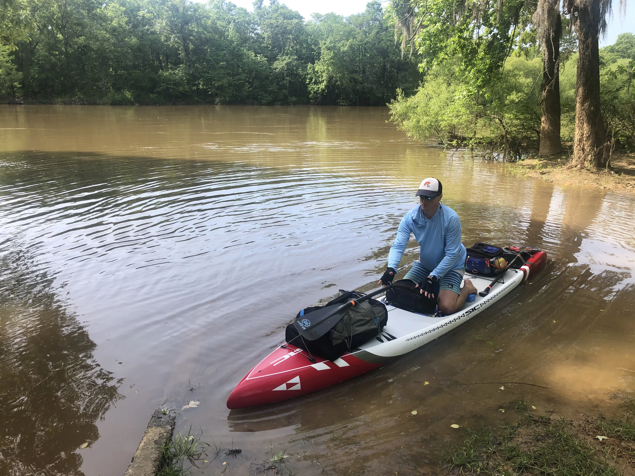
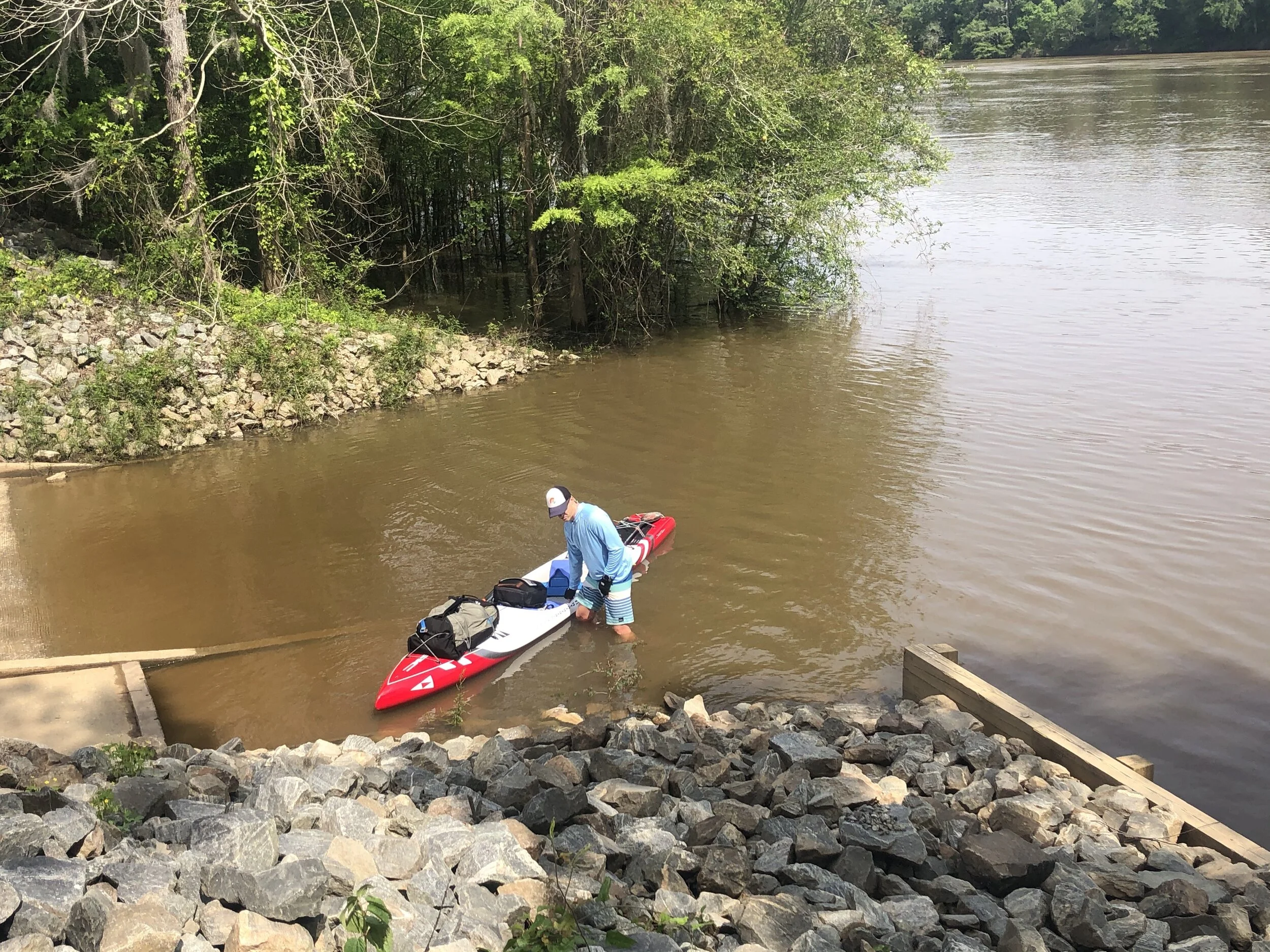
And I’m off...
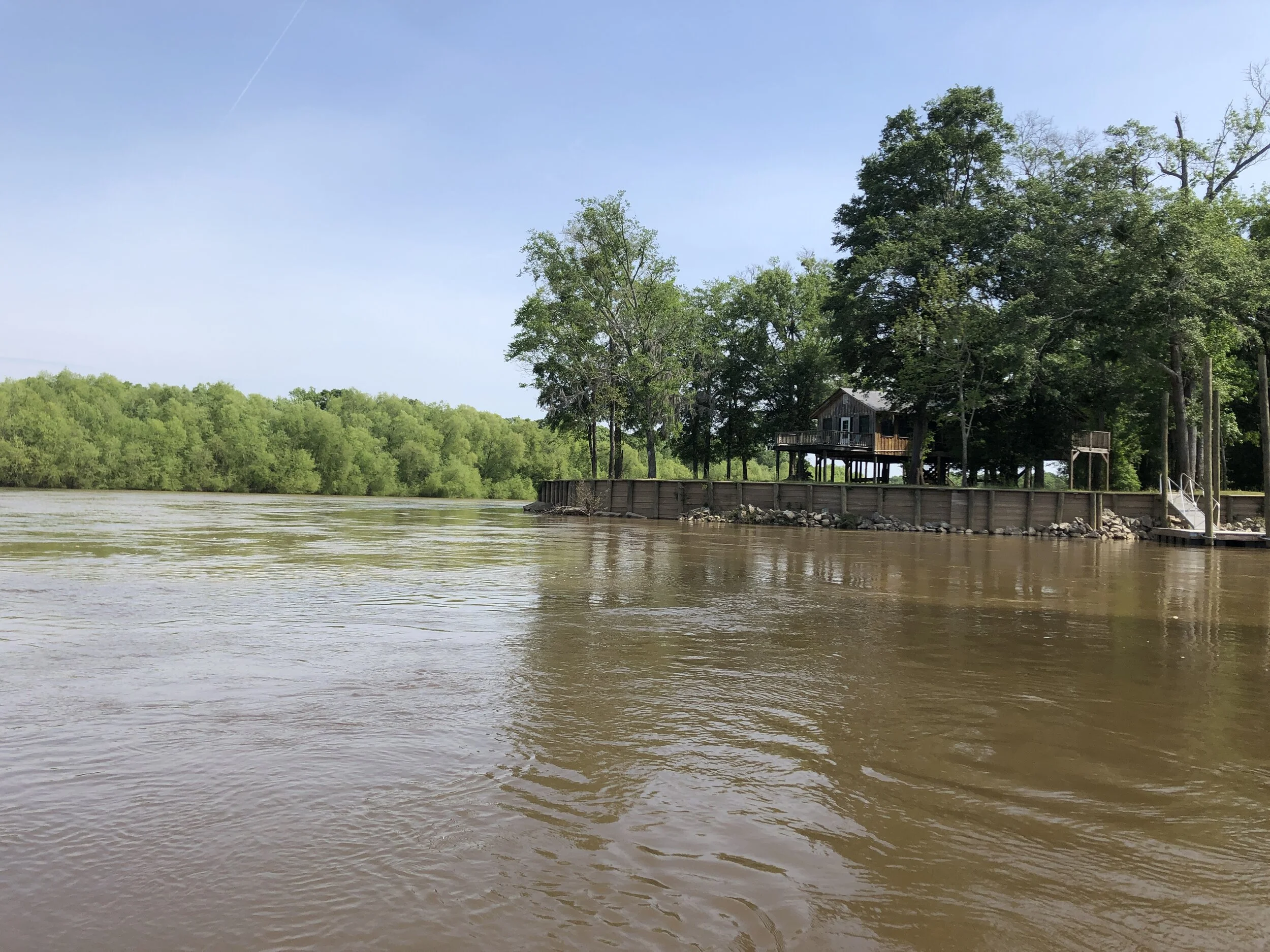
These fortunate people have a beautiful place right at the confluence. They are in the corner where the Oconee and Altamaha meet, and the Ocmulgee is coming in (not in picture) directly across from them.
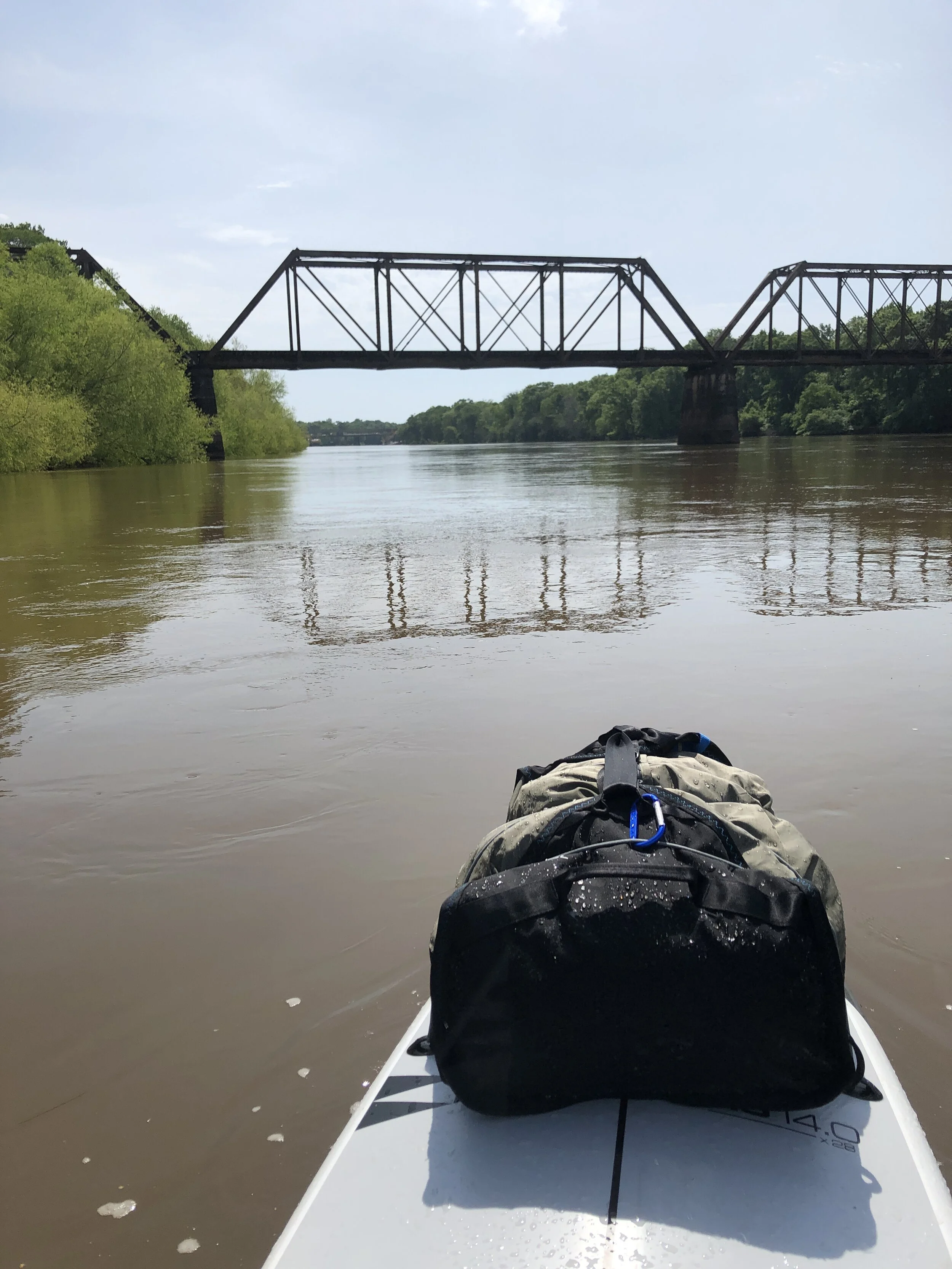
This is the old train trestle about a mile downstream from the confluence, a remnant from when trains played a larger role in the timber industry of the region.
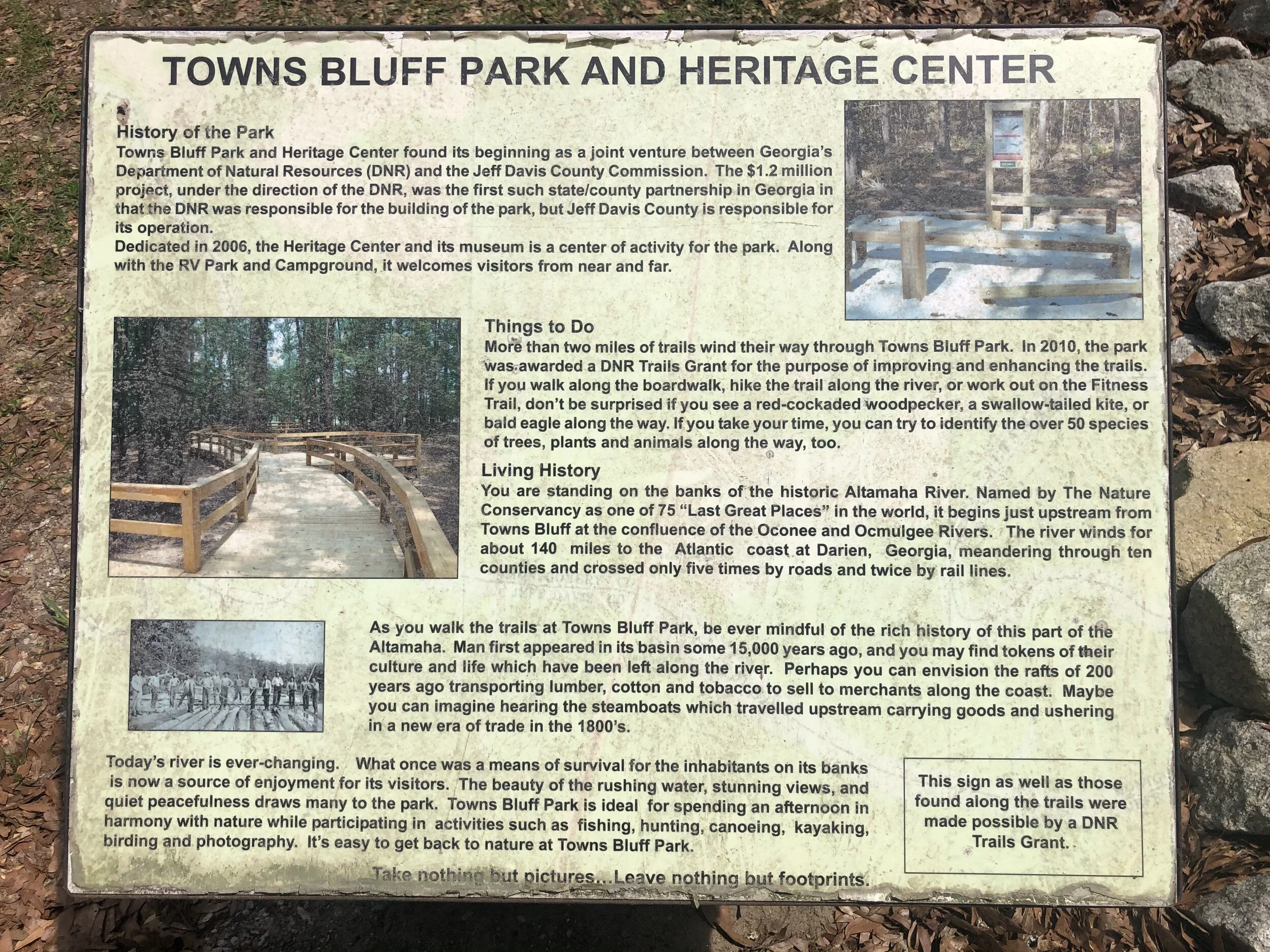
Pulling in for a quick stop at Town's Bluff Landing, just downstream of the Hwy 135 bridge.
Another quick goodbye
My parents/support crew headed five miles downstream to Town’s Bluff Landing to watch my paddle by. I pulled in for a quick stop.
The well-kept Gray's Landing is in the middle of a small riverside community.
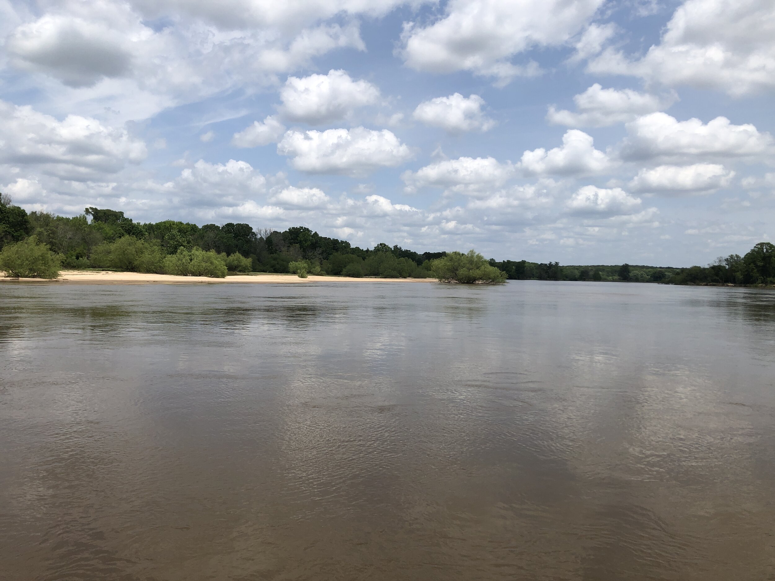
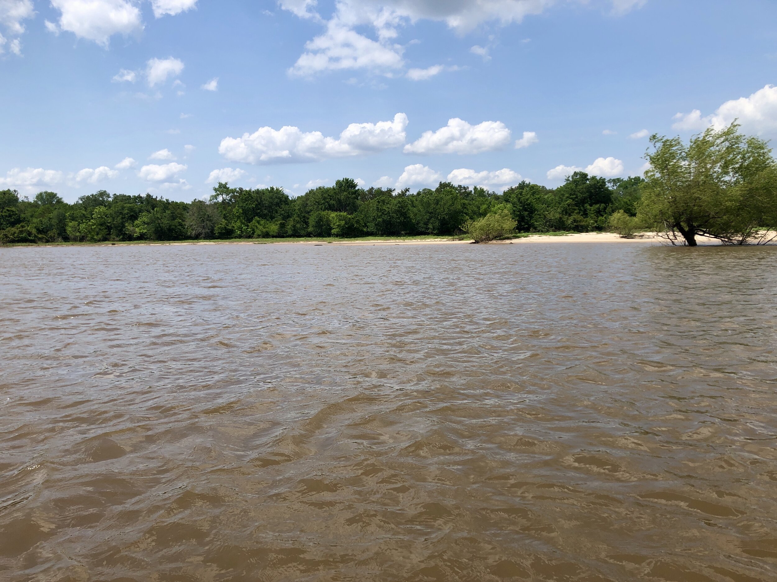
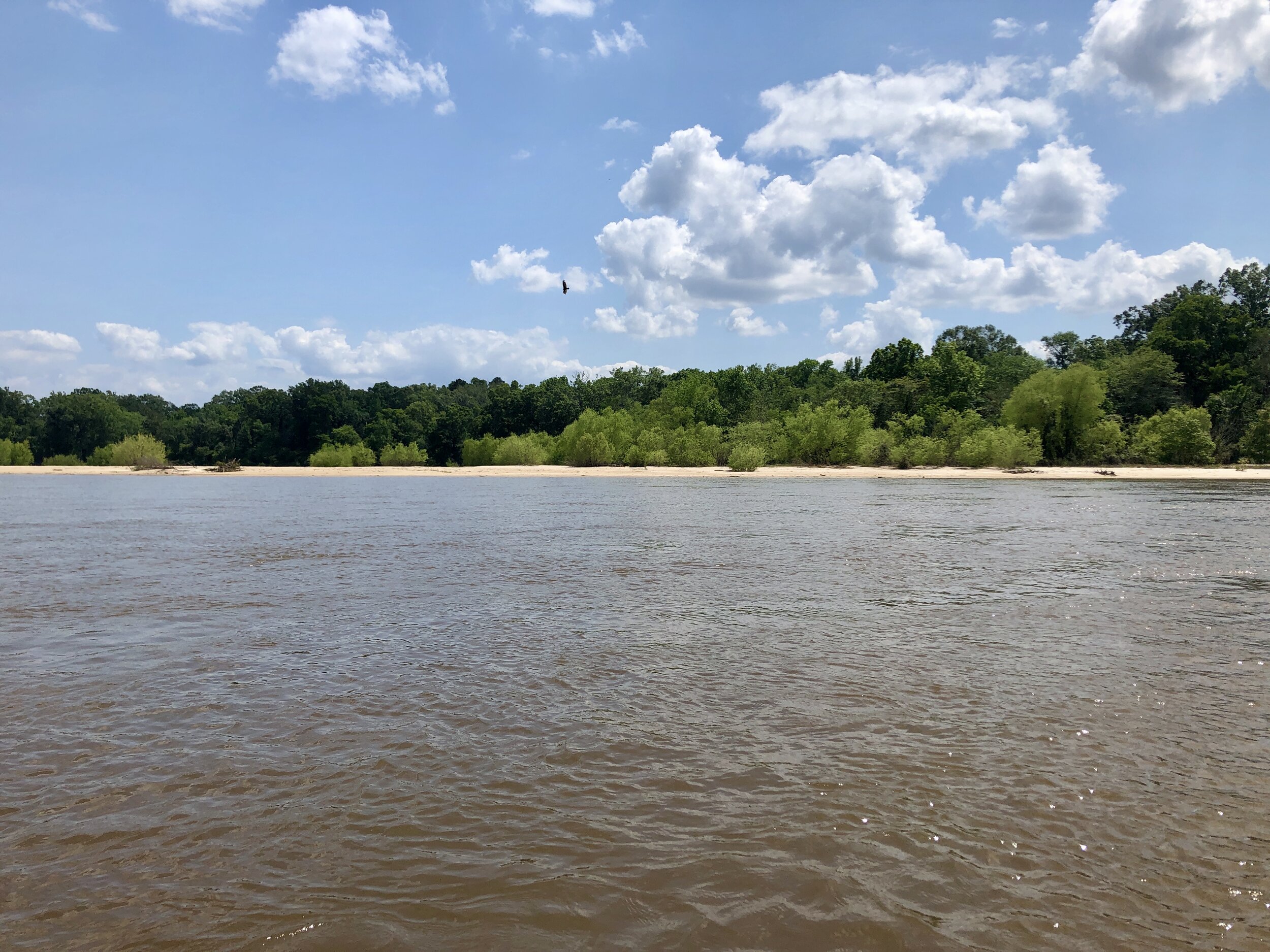
First of numerous, beautiful white-sand beaches that have accumulated in the turns of the upper portion of the Altamaha.
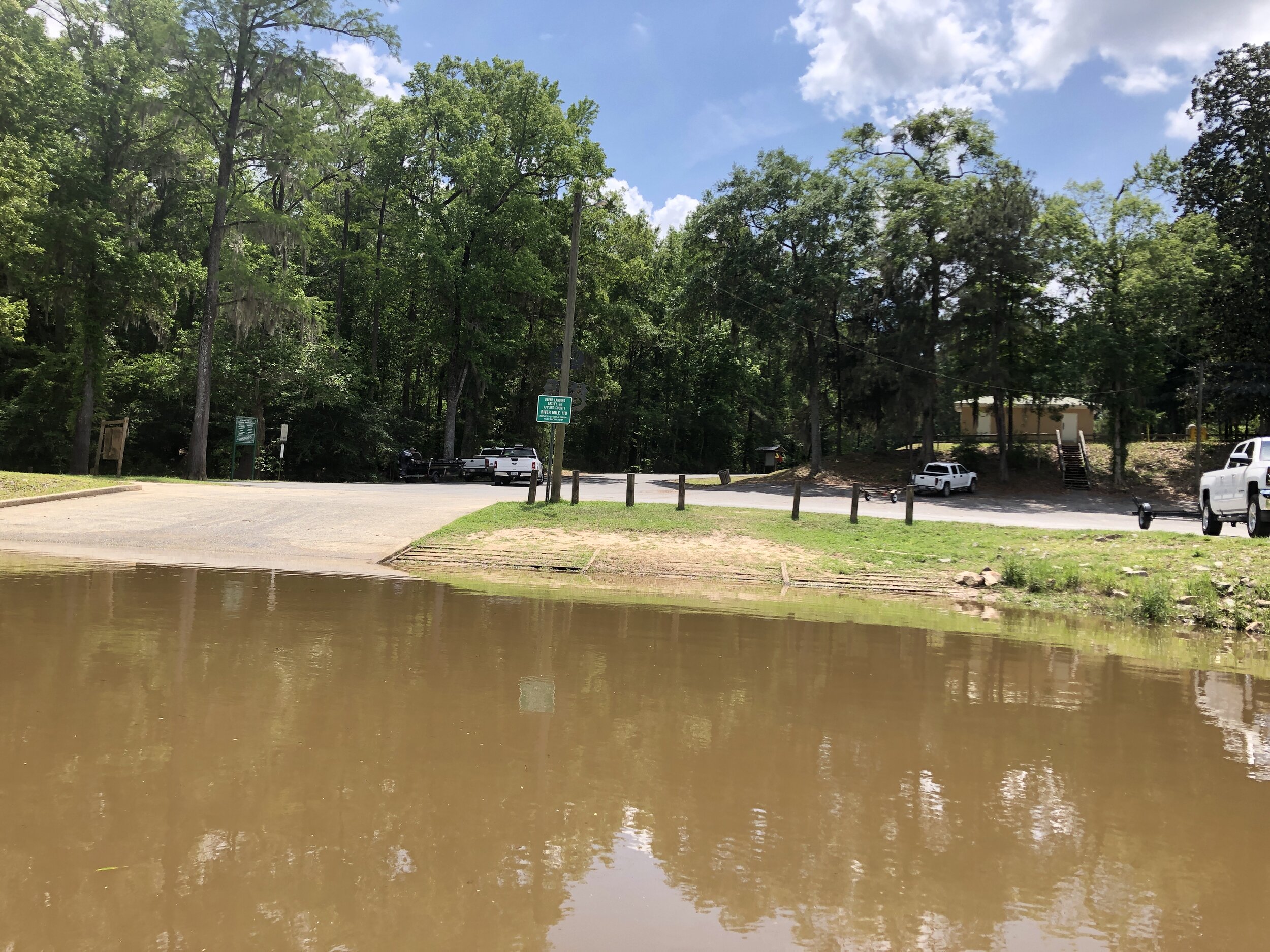
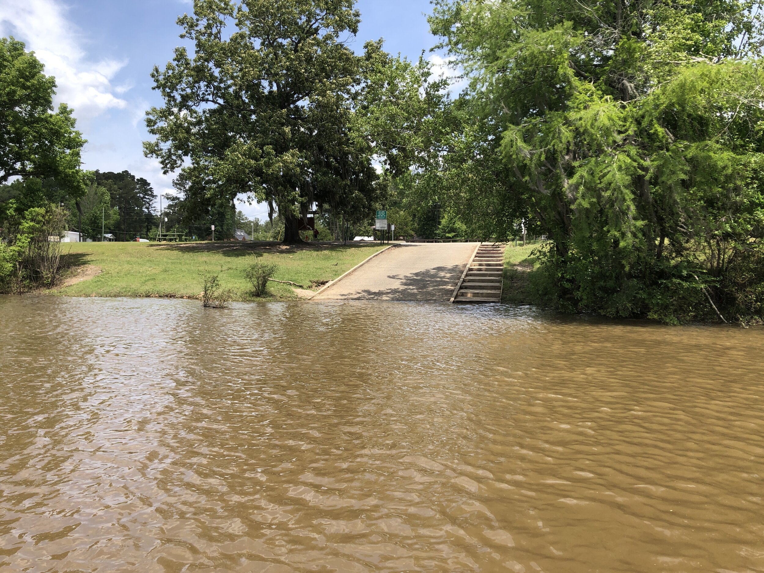
Deens Landing offers public toilets and fresh water to refill the bottles.
The Edwin Hatch Nuclear plant appears on river right.
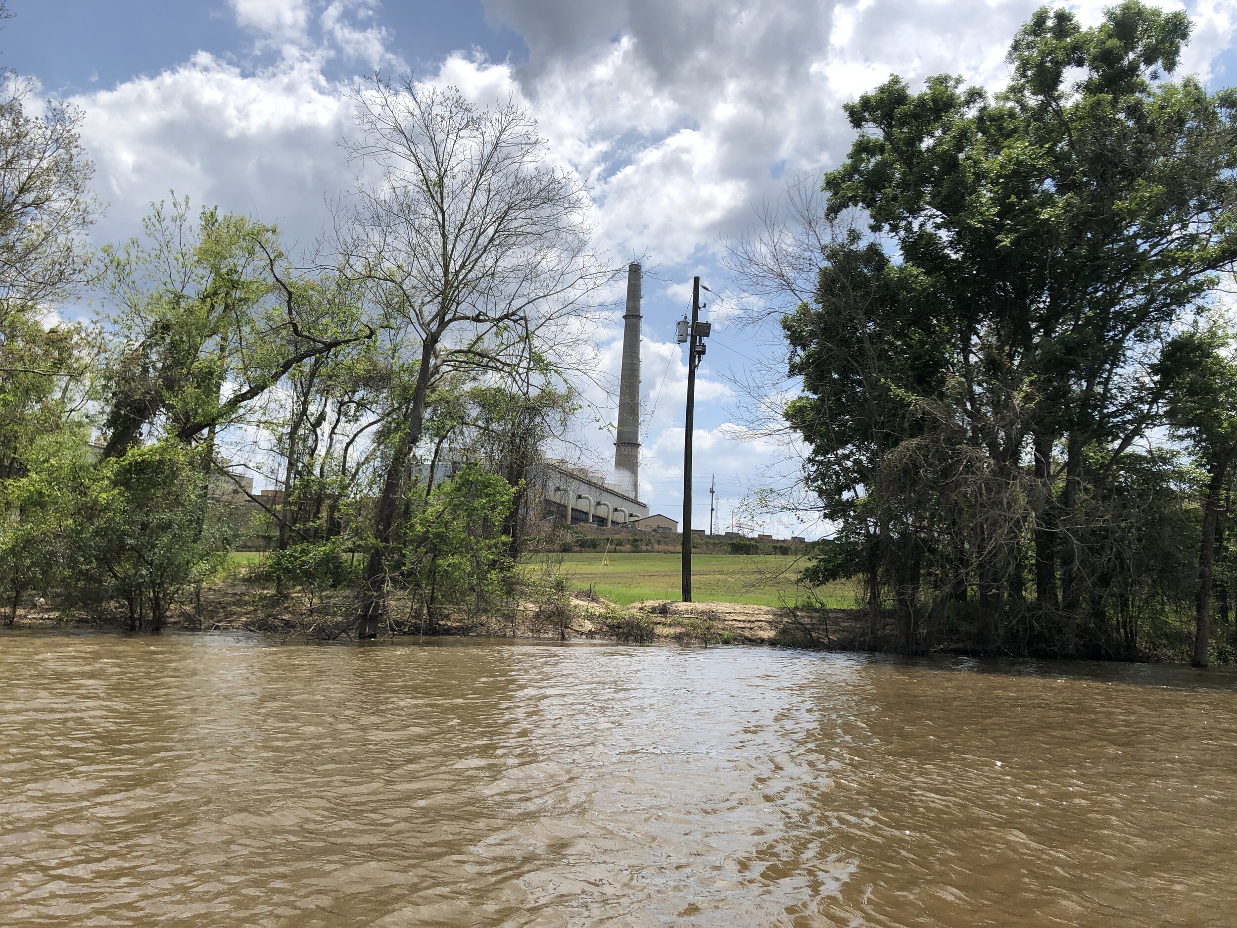
Smoke stack of the Edwin Hatch Nuclear plant. Nuclear plants are typically placed along rivers in order to use the water for cooling the reactors. As a result, they impact the cool-temperature river ecology by warming the average water temperature.
One of the gorgeous beaches of Moody forest (1 of 3 sequential pics).
Moody Forest beach, image 2.
Moody Forest beach, image 3.
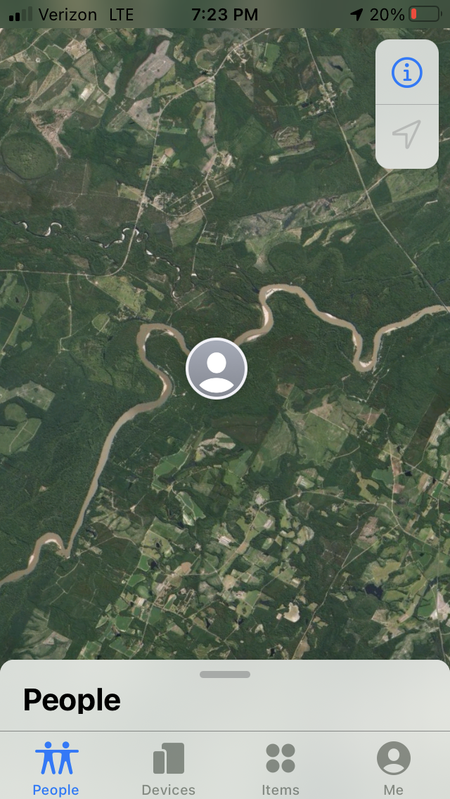
My parents were tracking my digitally.
360-degree view of Morris Landing (image 1)
360-degree view of Morris Landing (image 2)
360-degree view of Morris Landing (image 3)
360-degree view of Morris Landing (image 4)
360-degree view of Morris Landing (image 5)
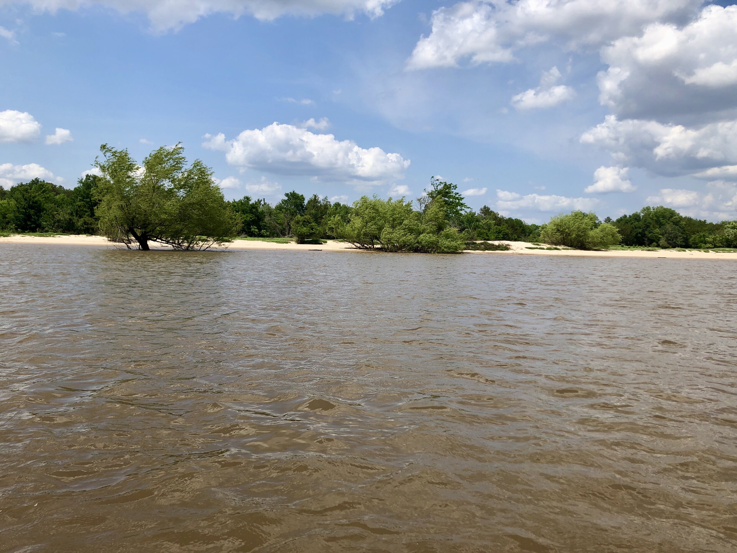
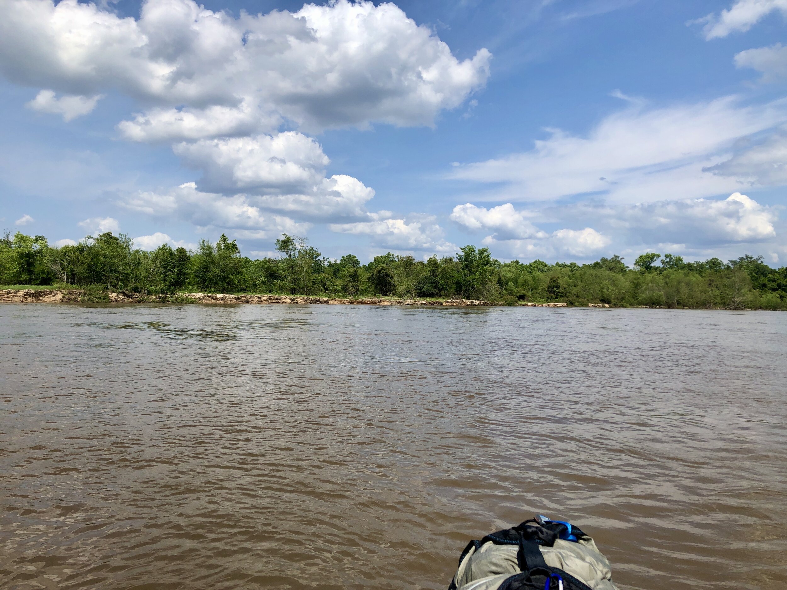
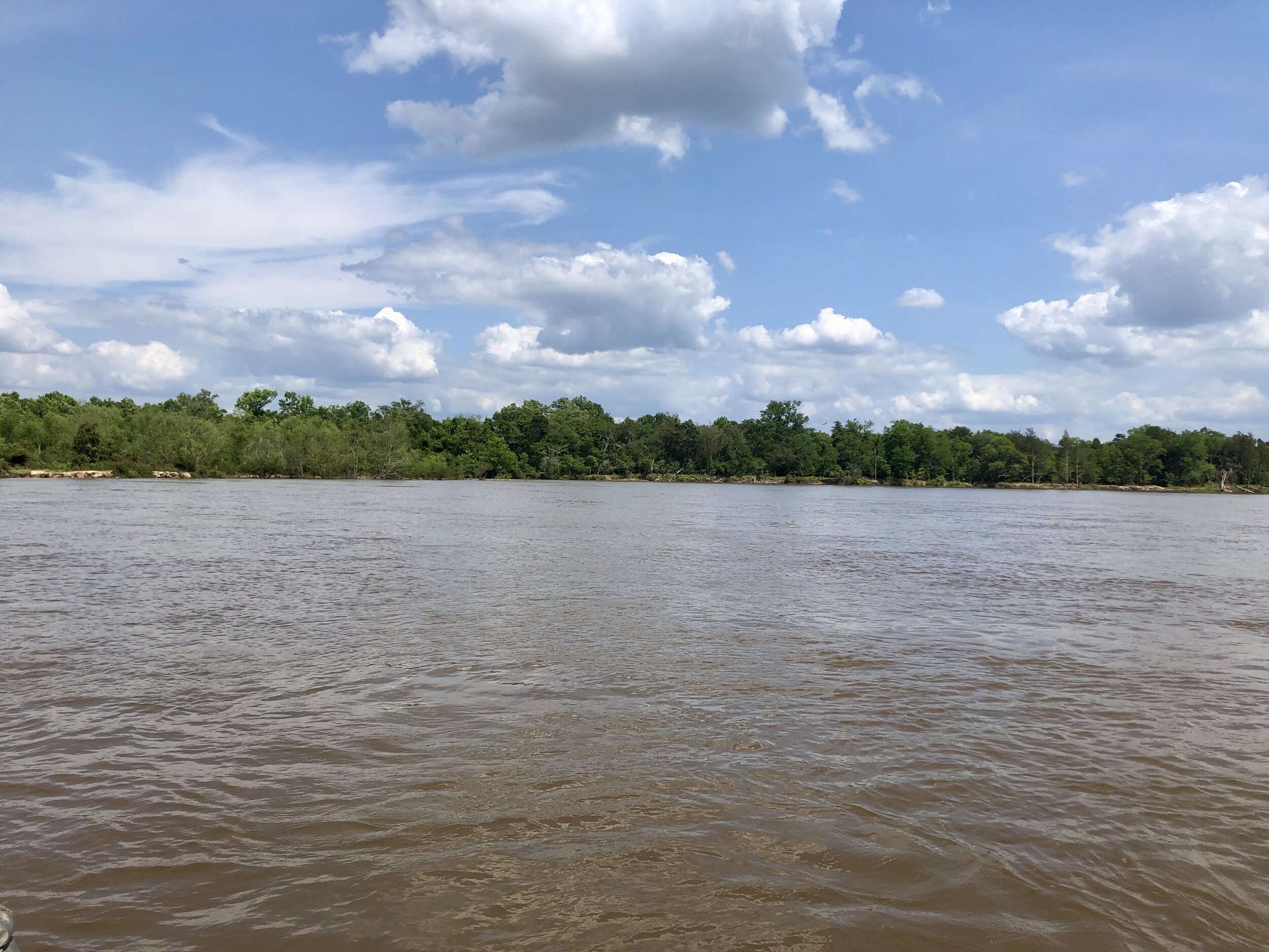
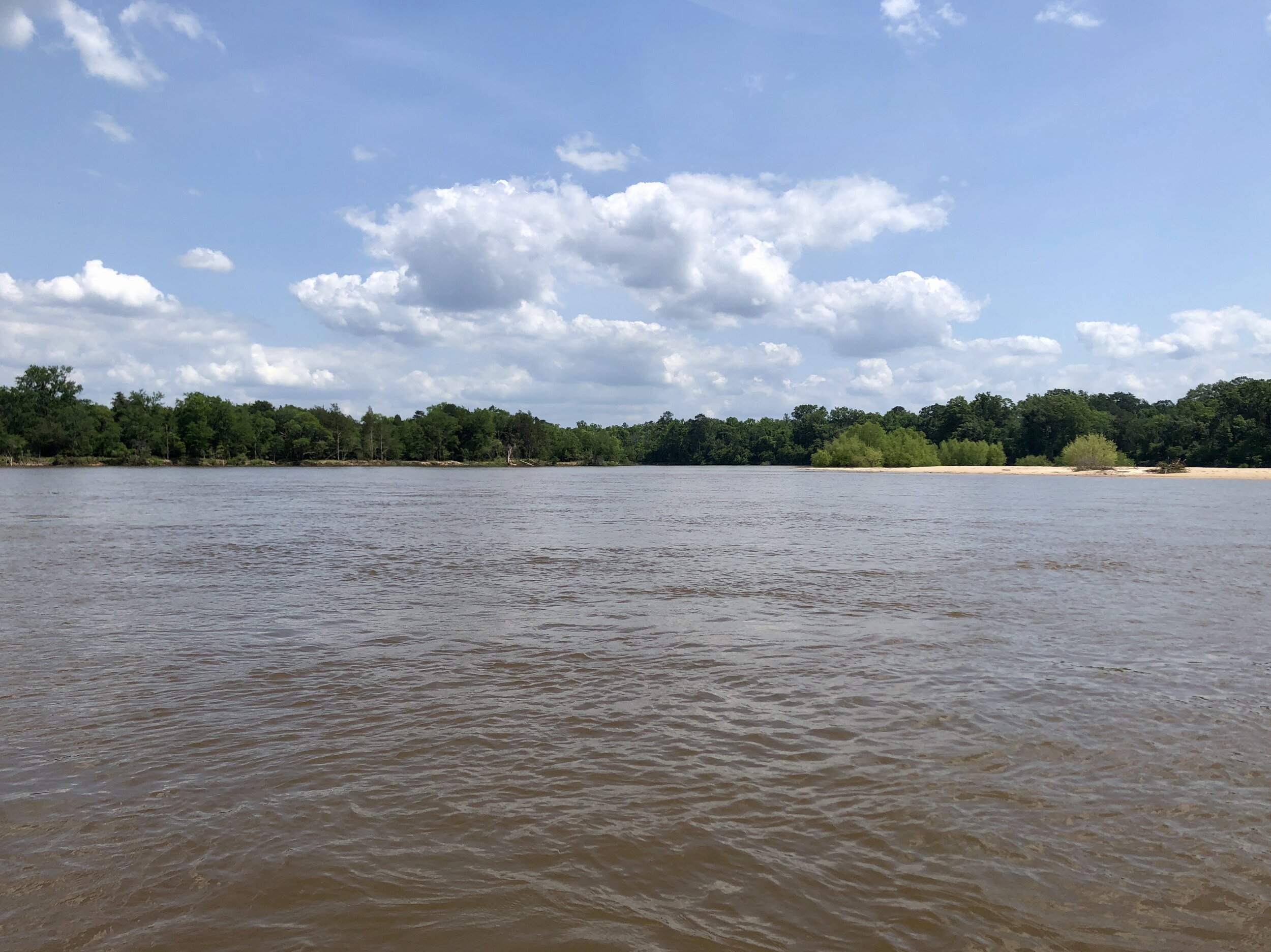
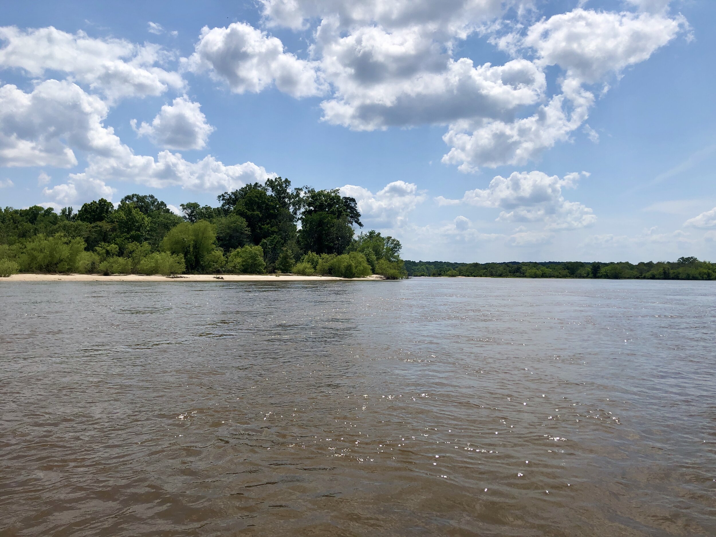
White sand beaches and hidden creeks.
A dragonfly’s dream
I never imagined a swamp could be so still and pristine.
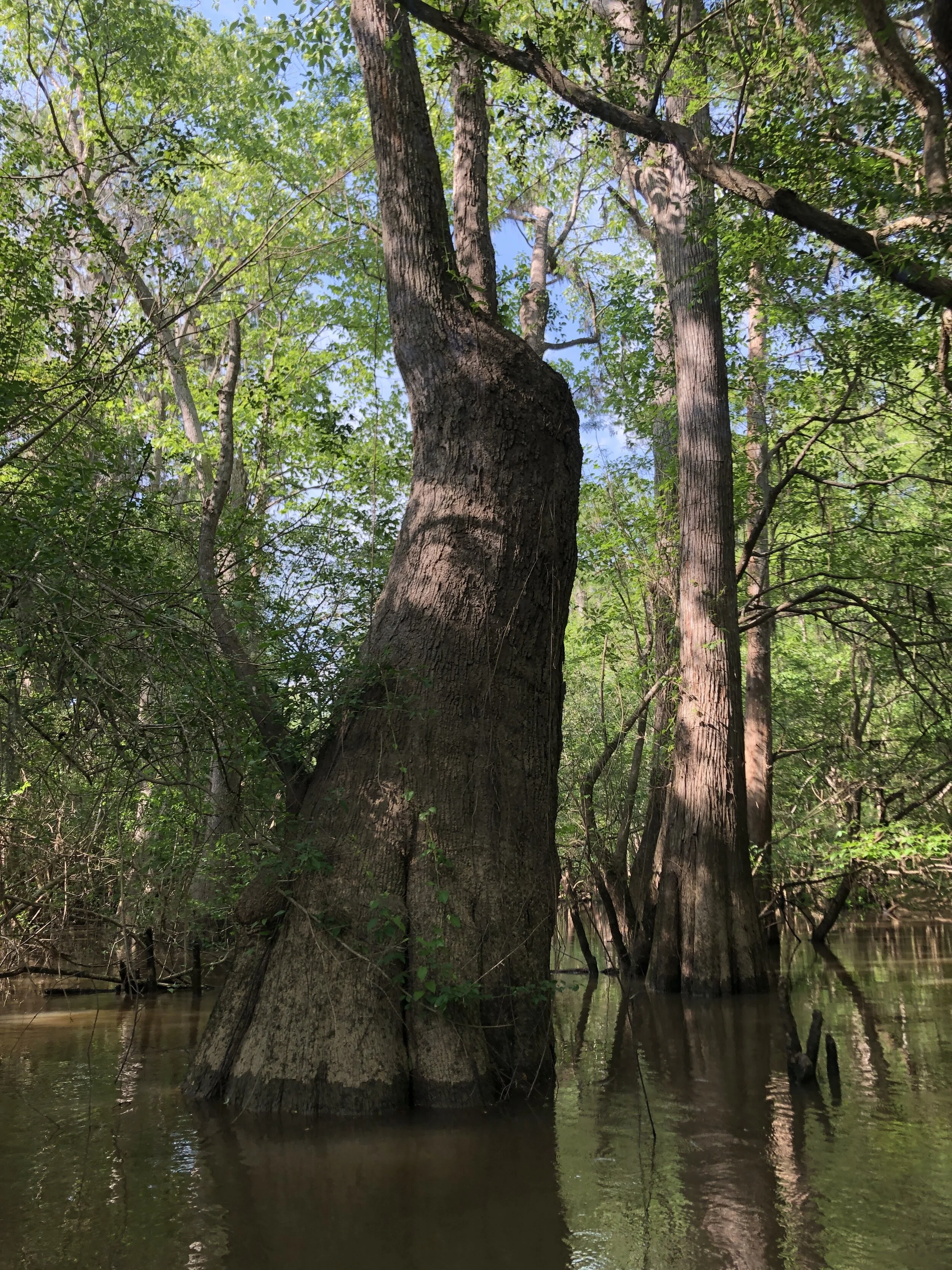
I took about 40 pictures of this goddess cypress tree standing watch over the grotto at the mouth of Bell’s Mill Creek. But none of them do it justice…
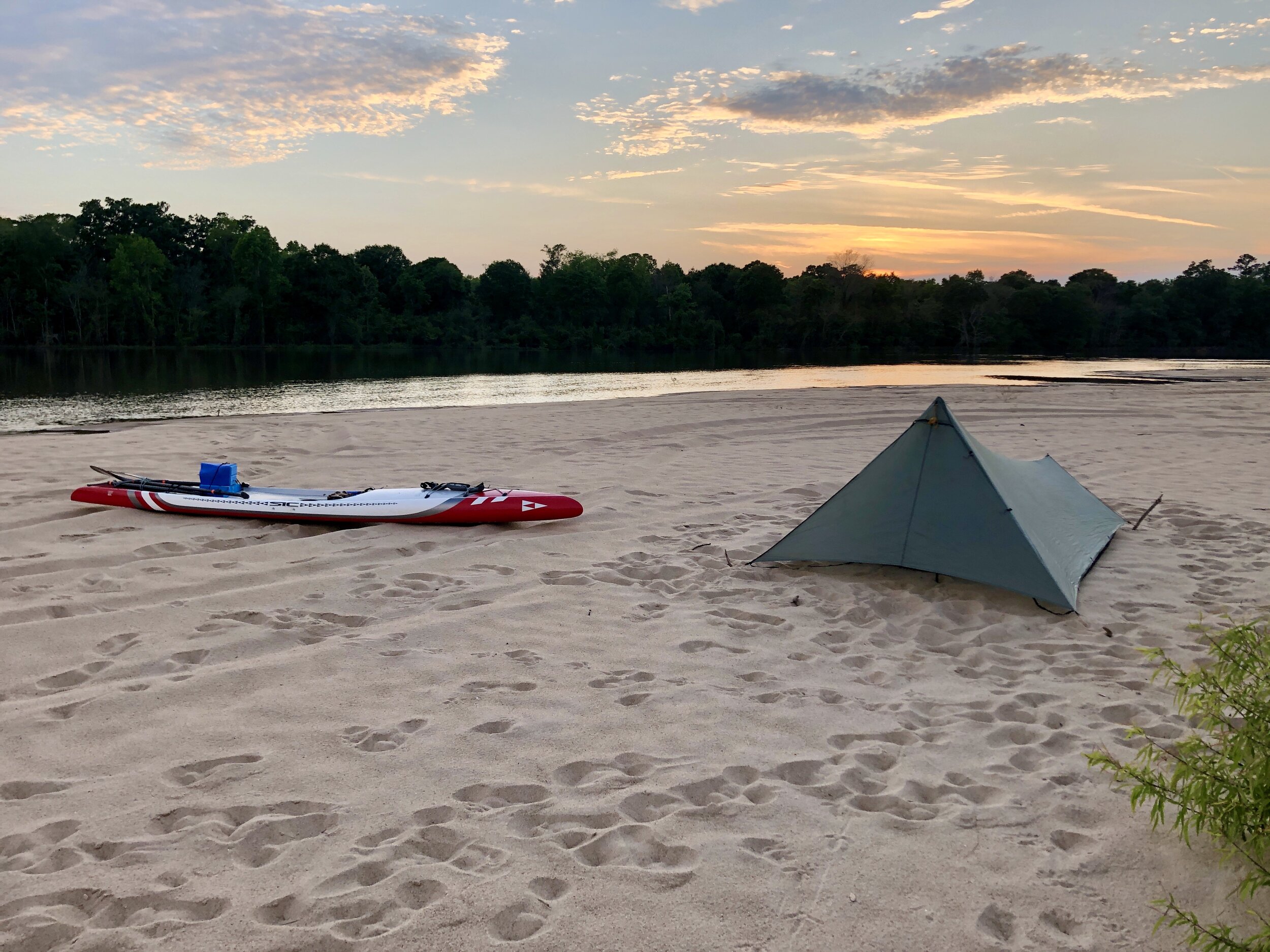

I couldn’t have hoped for anything better.
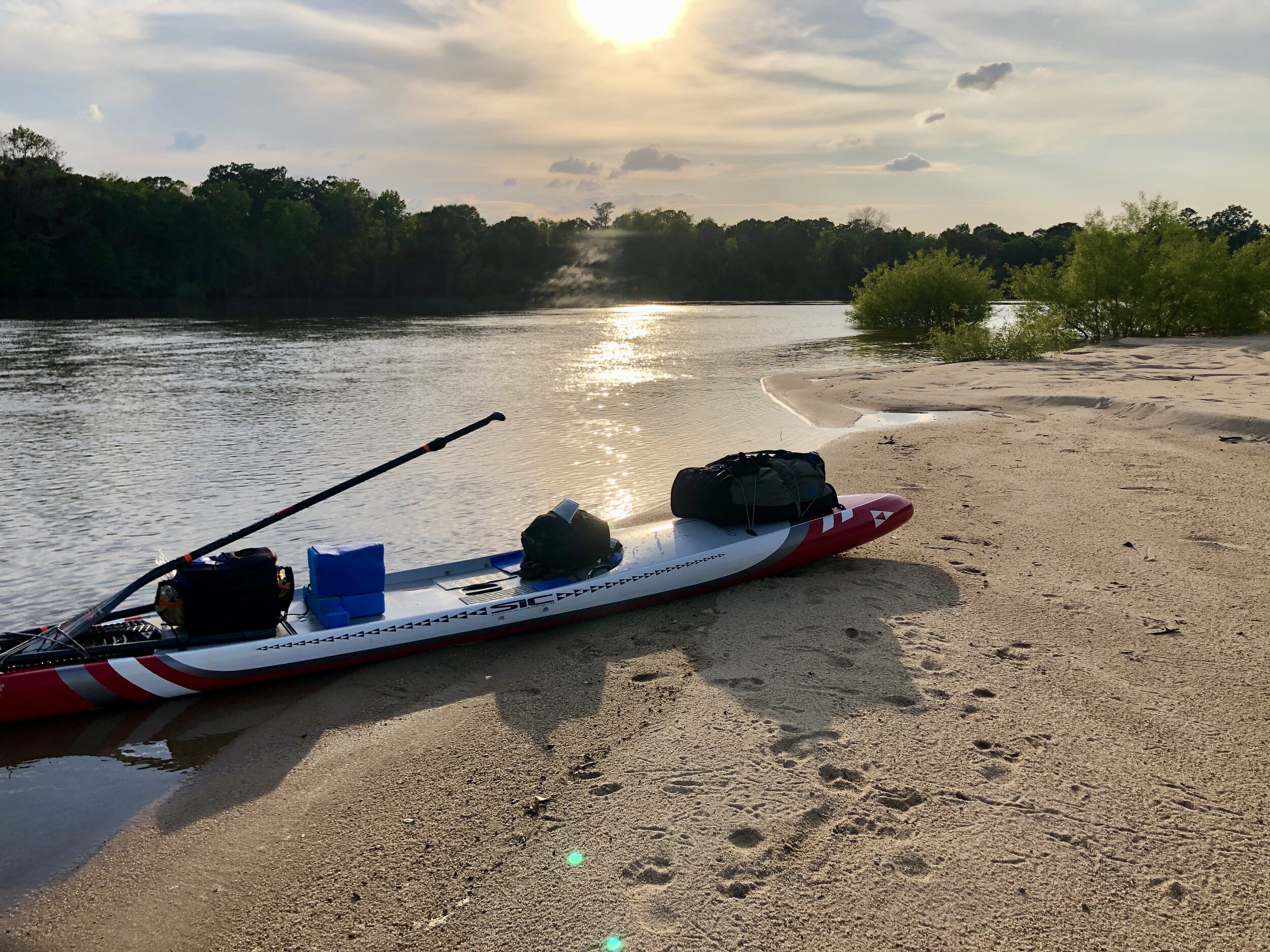
This beach in the Big Hammock Wilderness Management Area was one of the nicest places I’ve ever camped.
Drifting by J.E. Stanfield Landing first thing on the morning of the second day.
Logging trucks blast across the Hwy 169/121 bridge every few minutes.
I searched the Upper Wayne County Landing for its fresh water source for 15 minutes. After giving up, I found it at the lovely gazebo a 100 yards downstream. (By that point, I didn't want to get the camera back out...)
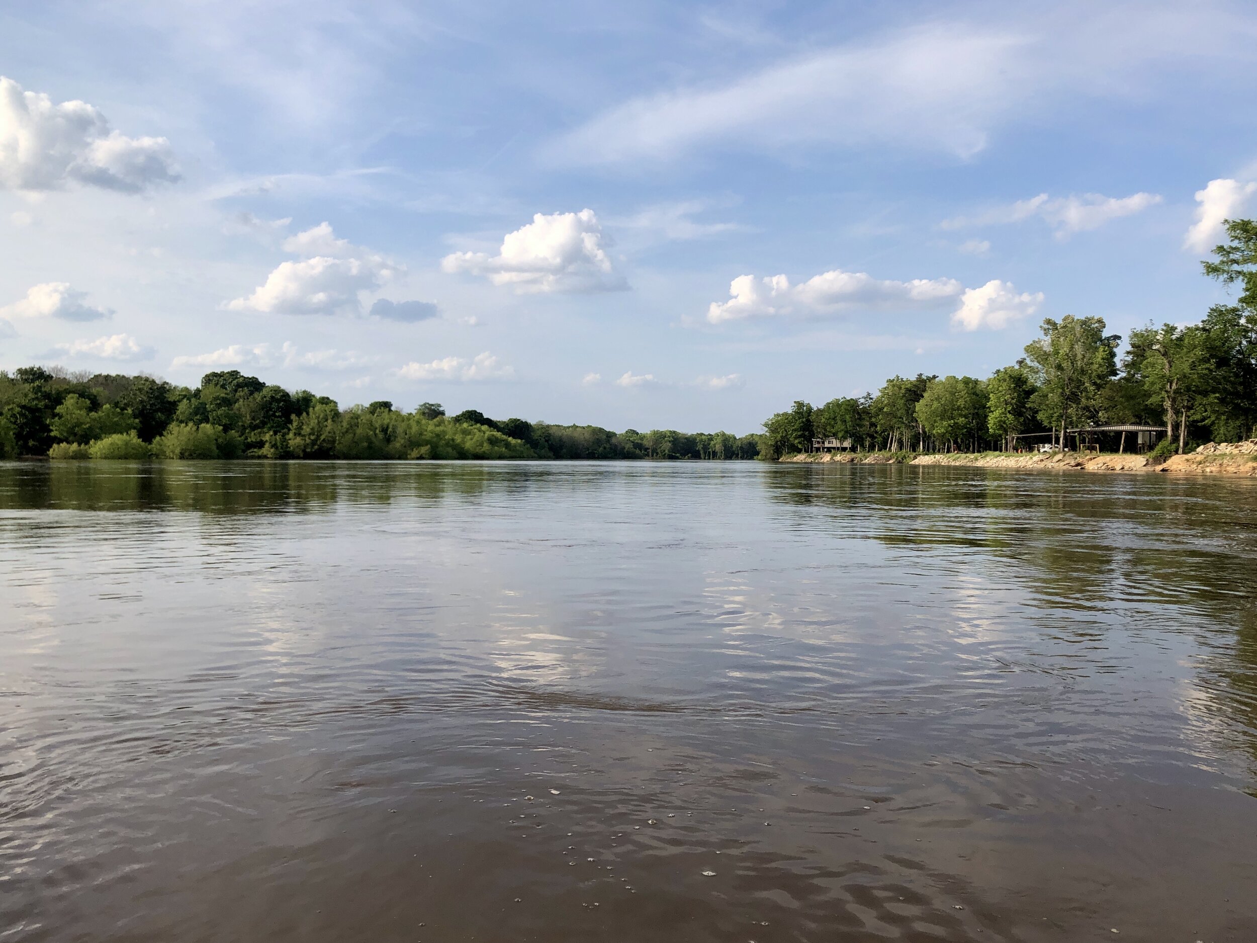
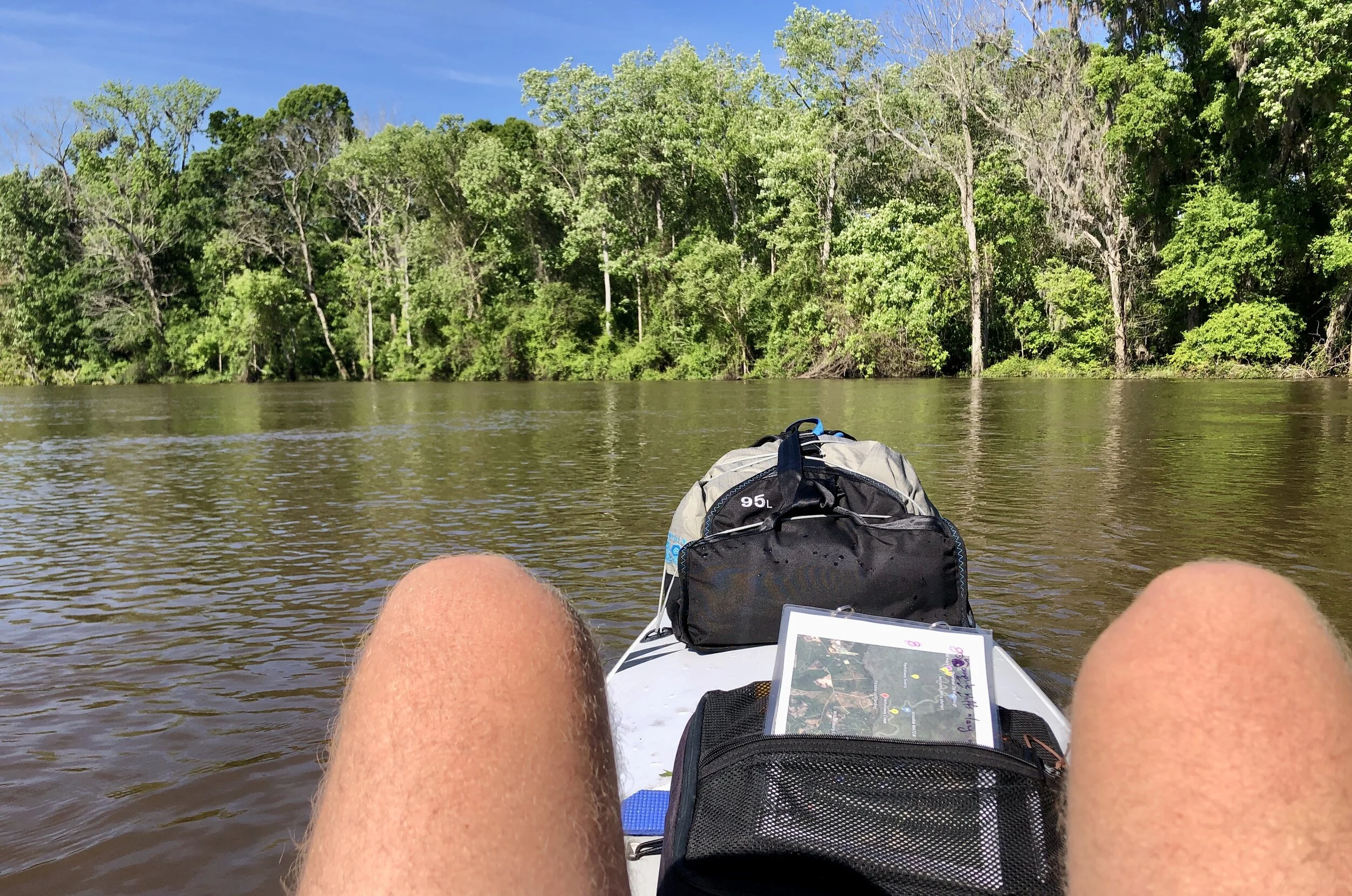
Day 2 was just as beautiful as Day 1.
Smooth water and fast current made for the best imaginable paddling conditions.
According to legend, James Oglethorpe, founder of the colony of Georgia, stood on this bluff while surveying the region.
Stopping to refill the water bottles at Jaycee's Landing, approximately 70 miles into the paddle (and feeling good).
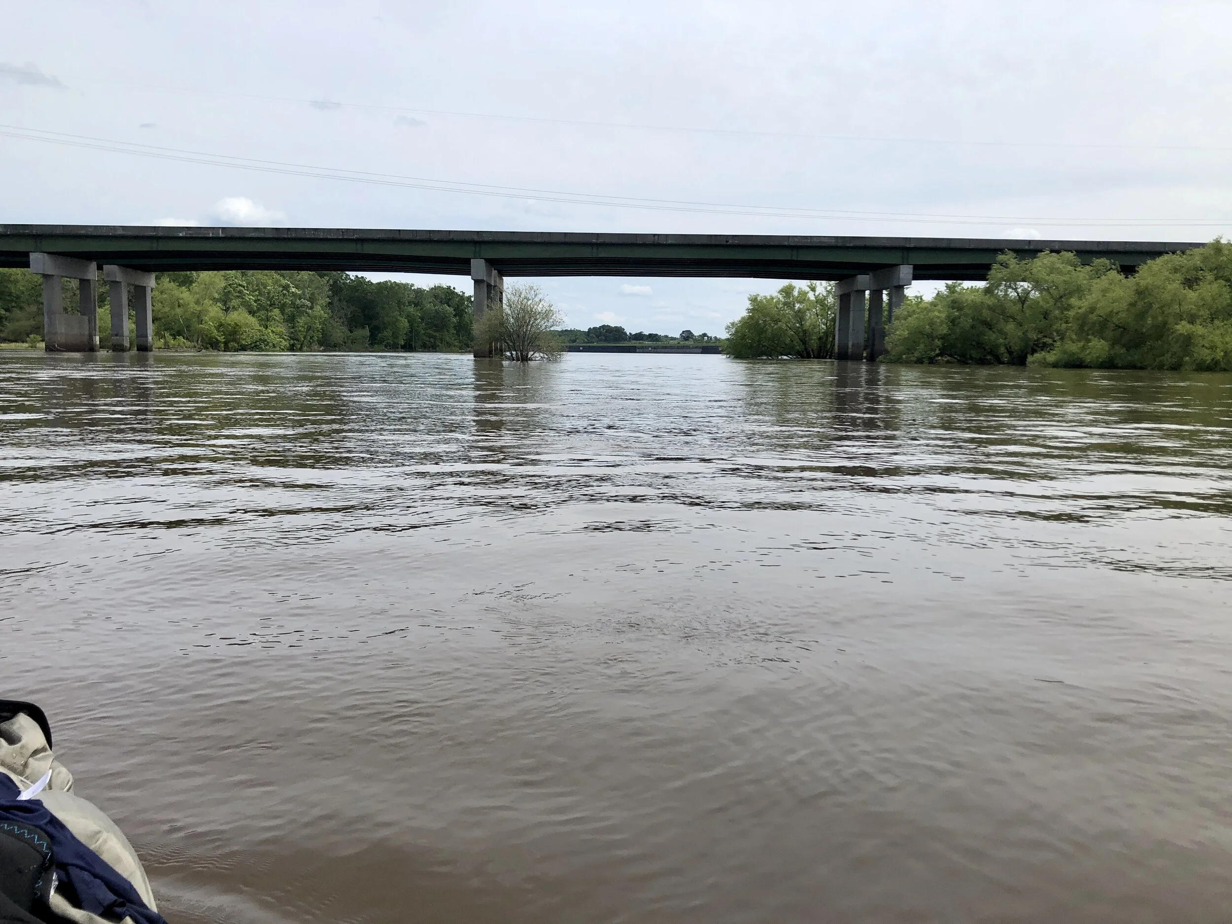
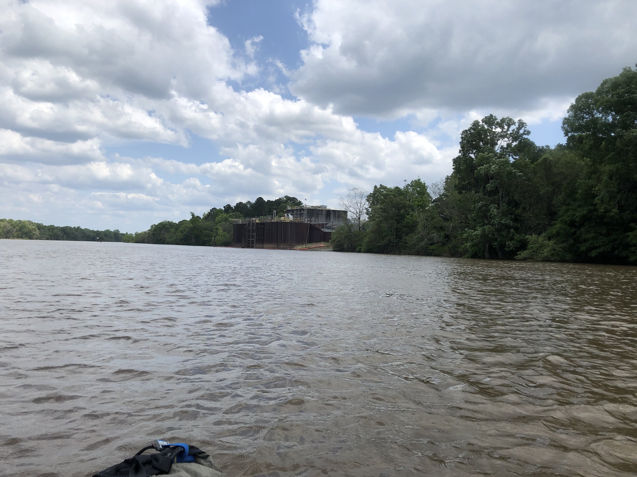
Past the Hwy 301 bridge, the Rayonier paper plant at Doctortown comes into view.
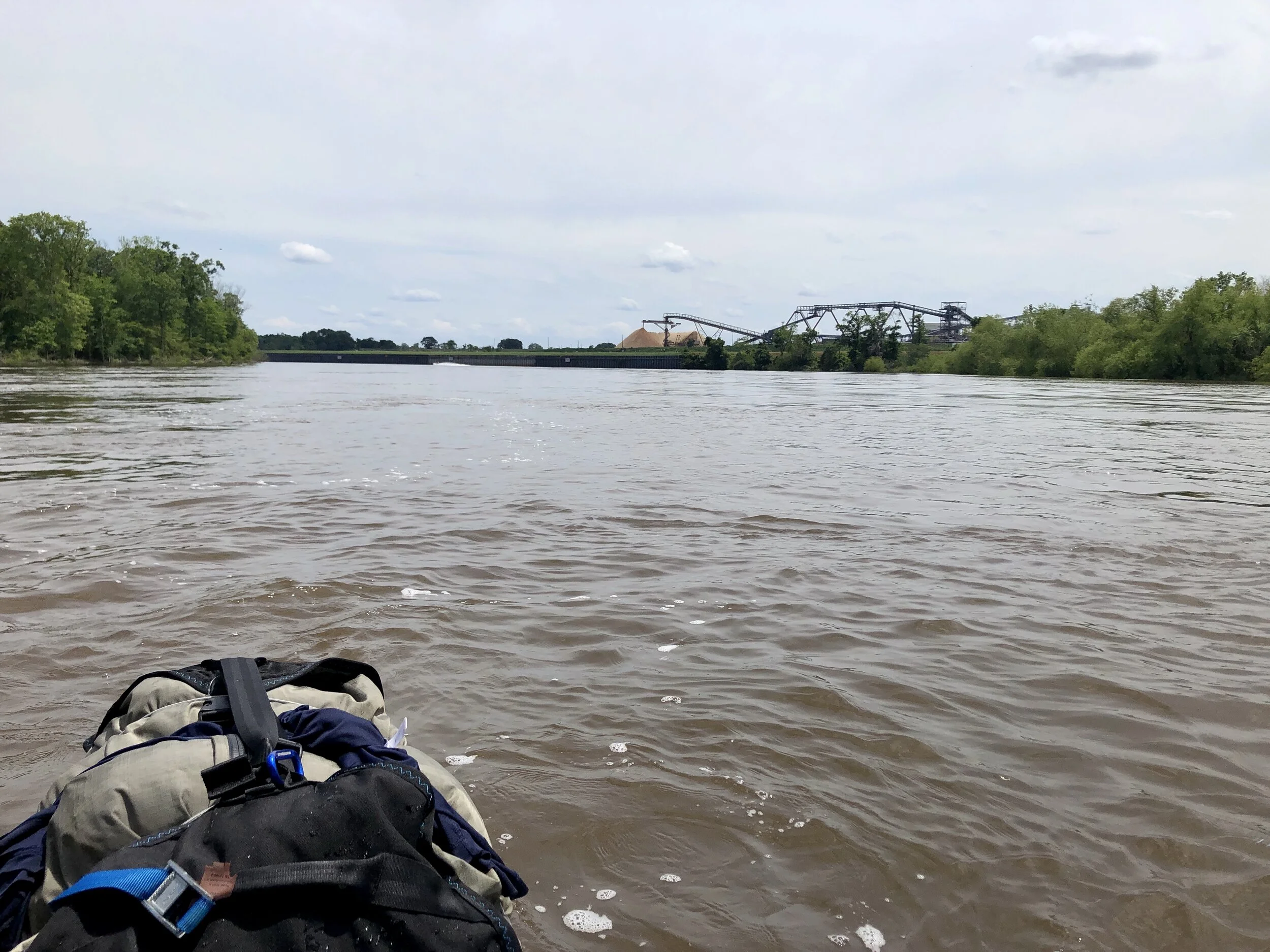
Conveyor belts in the distance drop a never-ending stream of freshly-pulverized trees, forming a mountain range of wood chips at least 80 feet tall.
Getting close enough to smell the stink of chemical baths used to process wood chips into pulp.
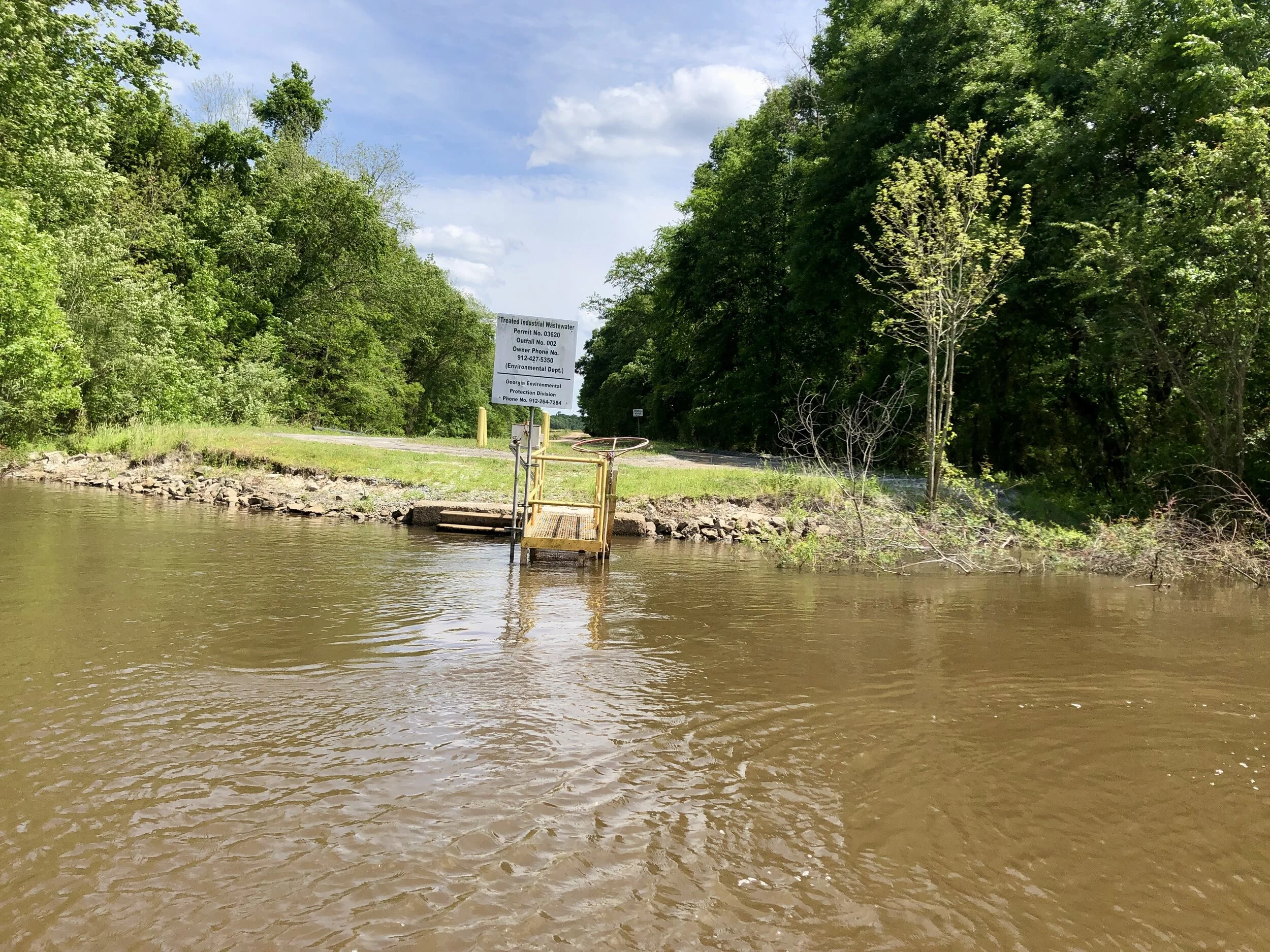
The Rayonier plant releases a dark effluent from its paper processing into the Altamaha via this underwater pipe.
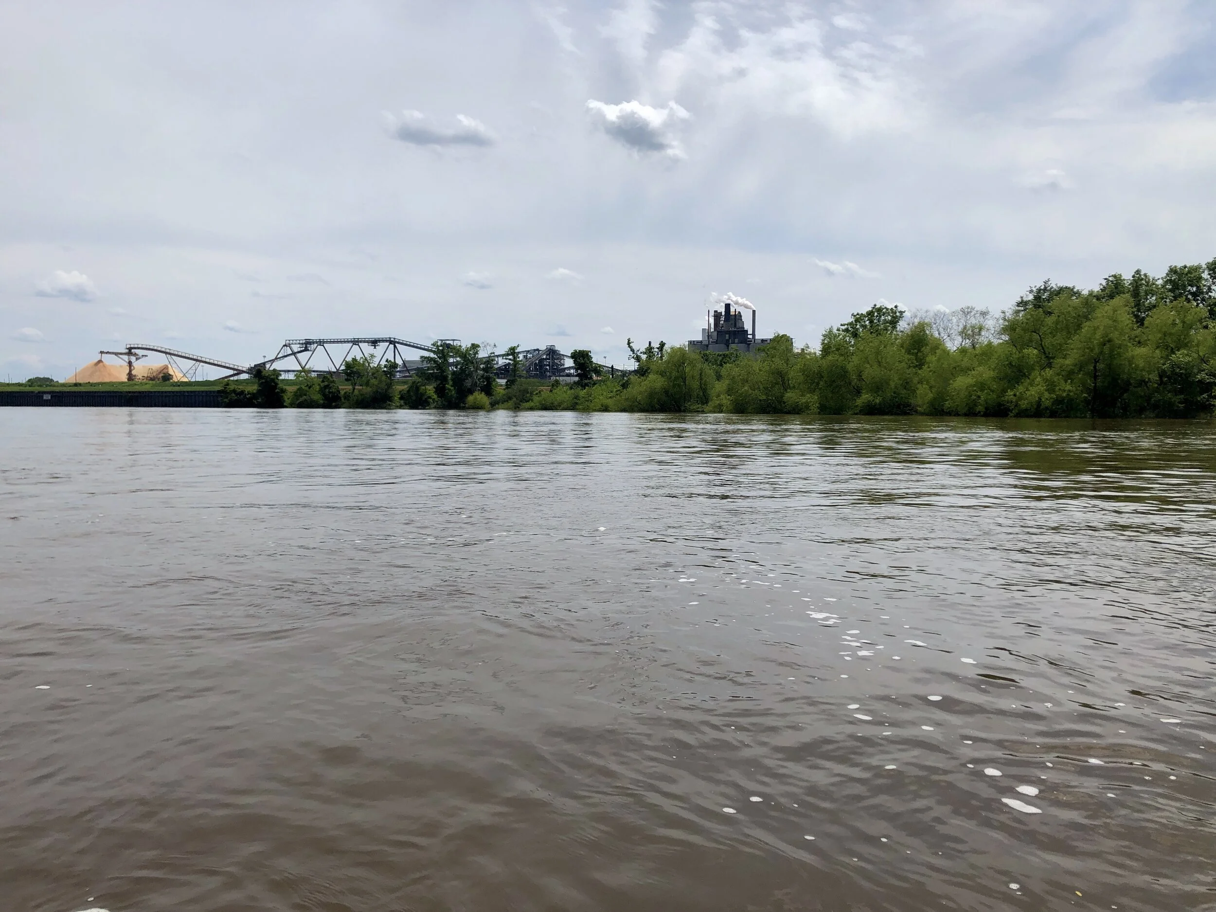
The Big Blight
The Rayonier Paper plant fouls the air for miles around and dumps its wastewater into the river to ill effect.
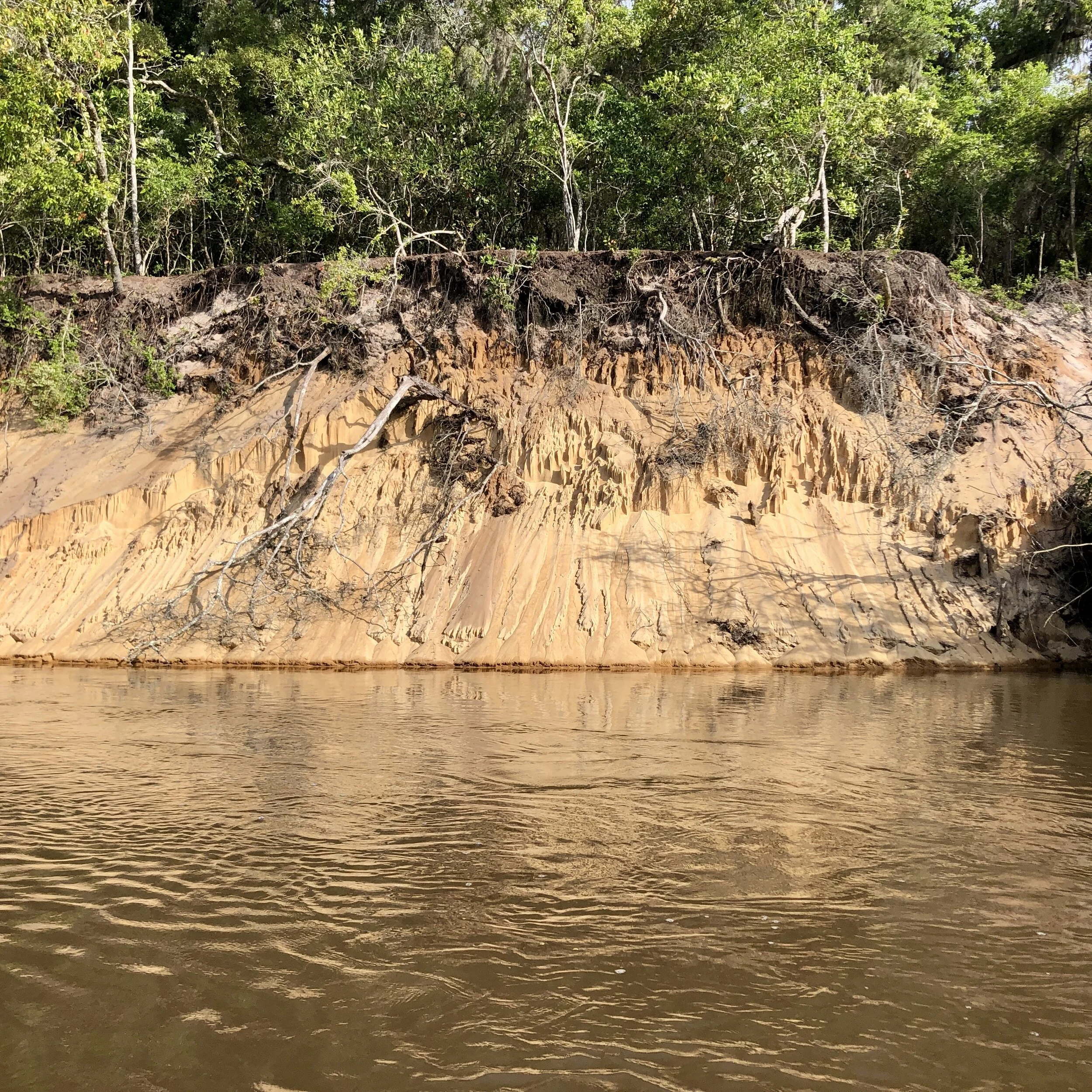
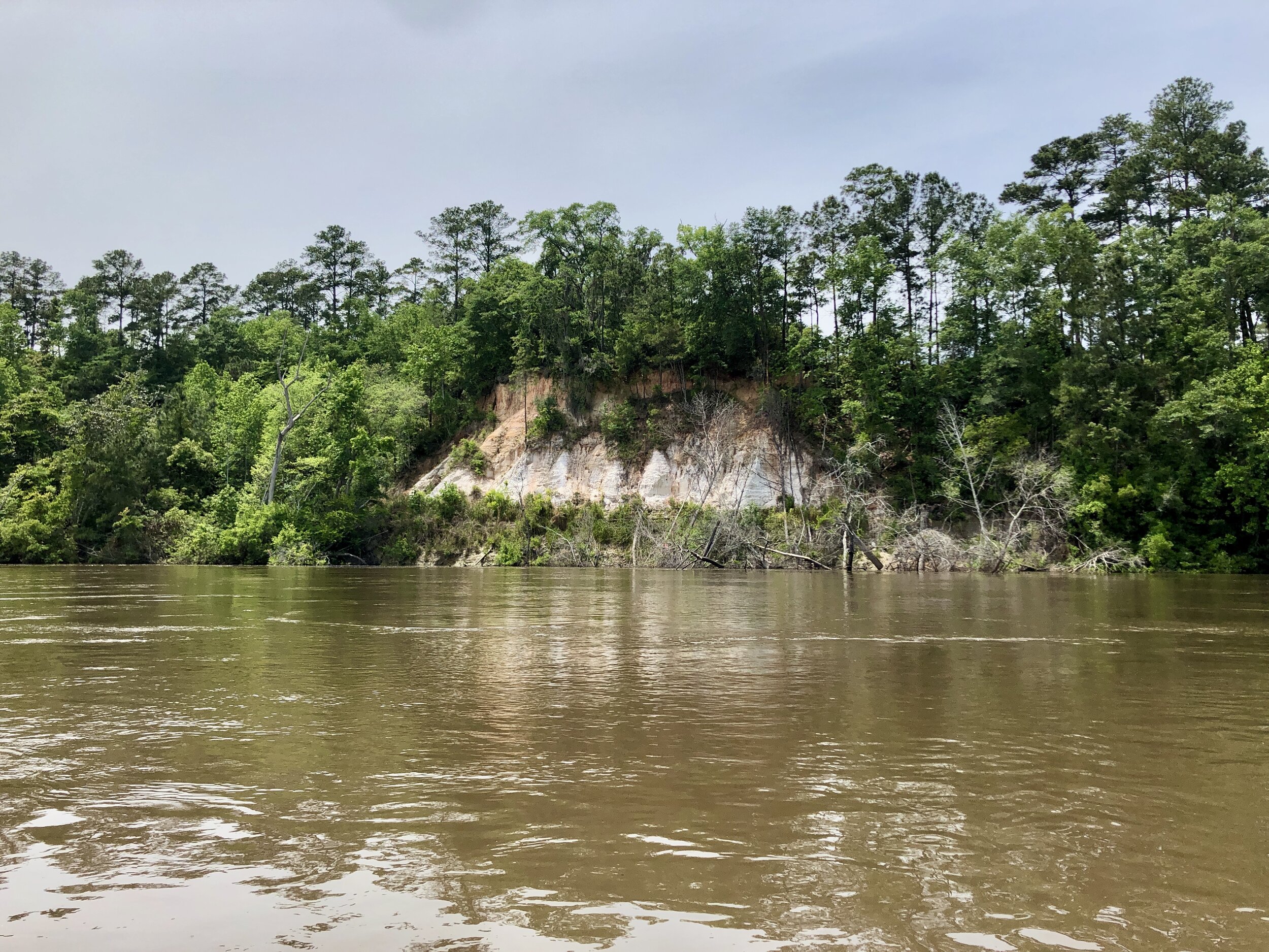
Sandy beaches give way to bluffs that sit above the surrounding swamp land.
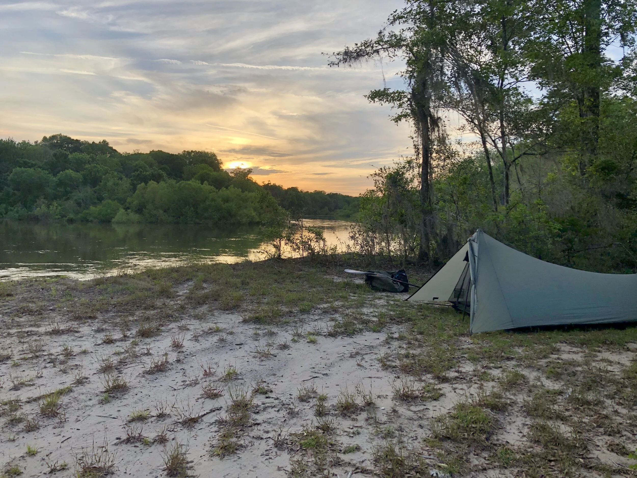
I was happy to find this small bluff facing the sunset (and above the alligator-filled swamp).
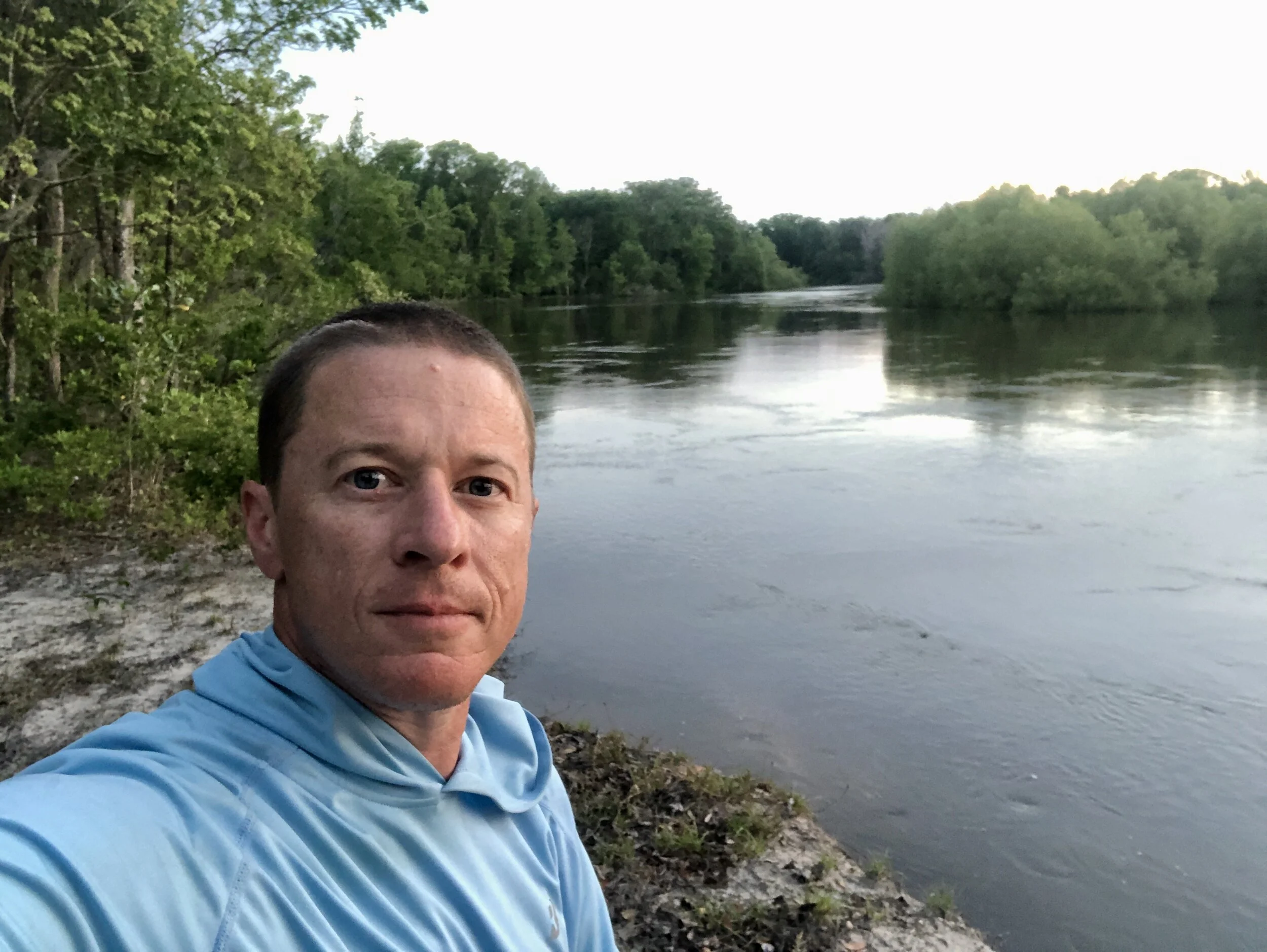
After-dinner selfie, then an early bedtime.
Up above the gators.
Below Doctortown, the beaches gave way to deeper swamp and the constant croaking of alligators. Fortunately, bluffs began to rise above the river as well, giving me a nice dry place to pitch camp.
Shorter mileage on day three meant I could drift more and paddle less.
Lovely Williamsburg landing nestled among the bright and leafy willow trees.
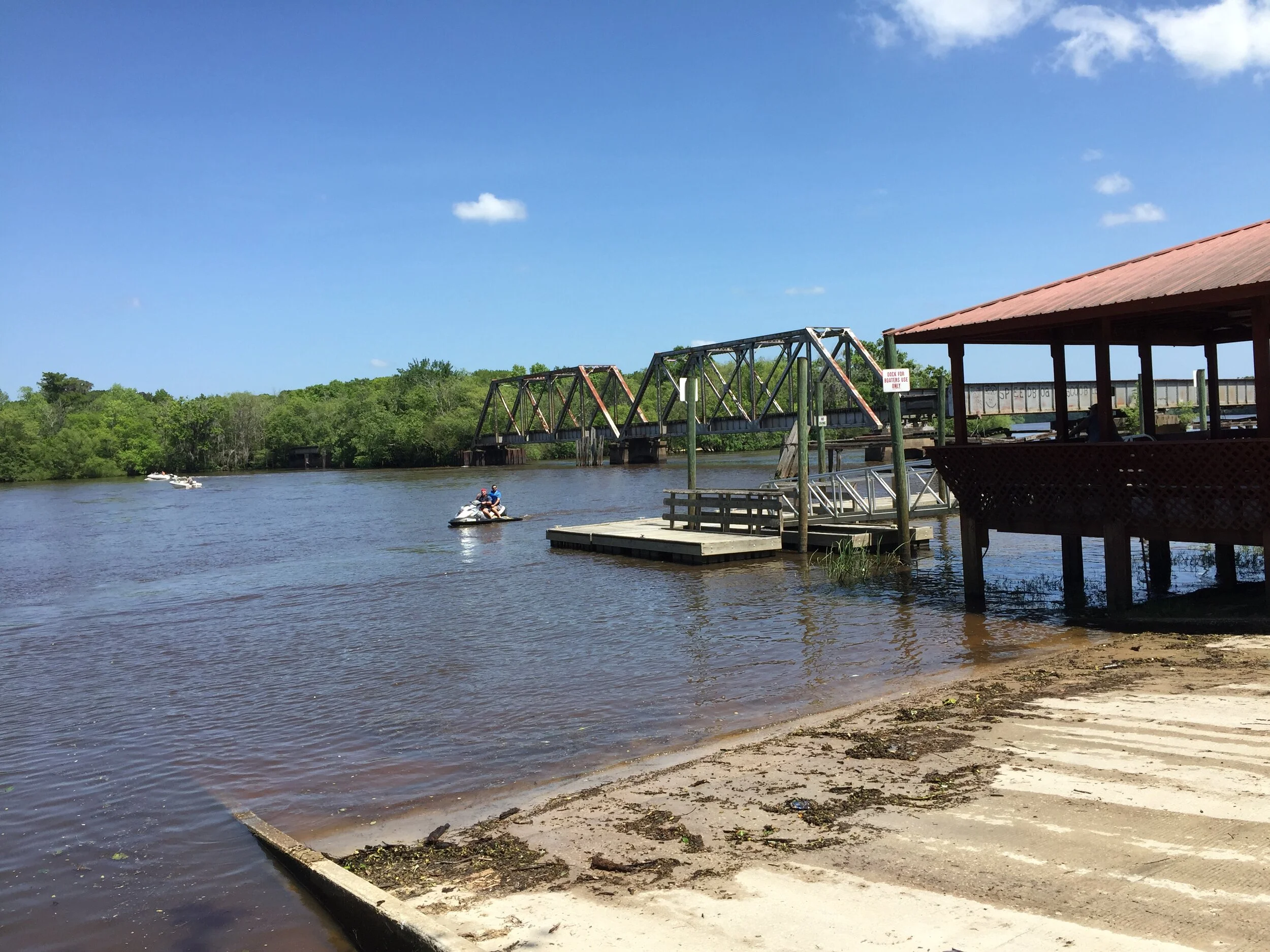
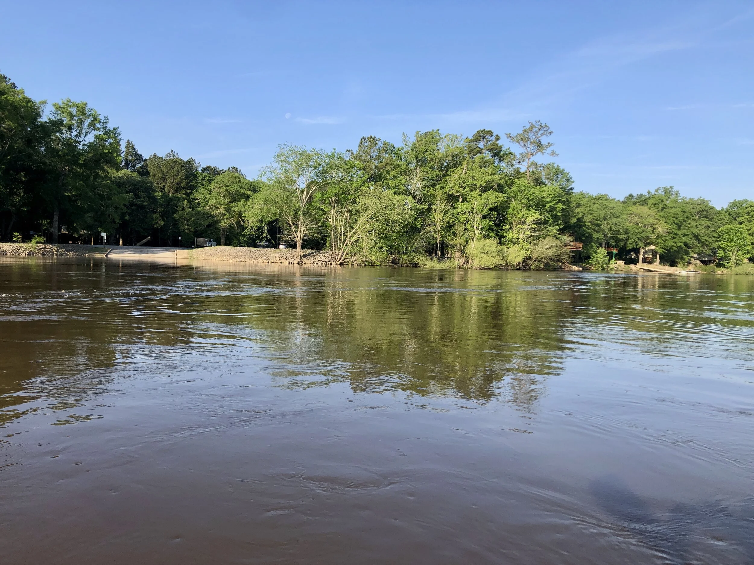
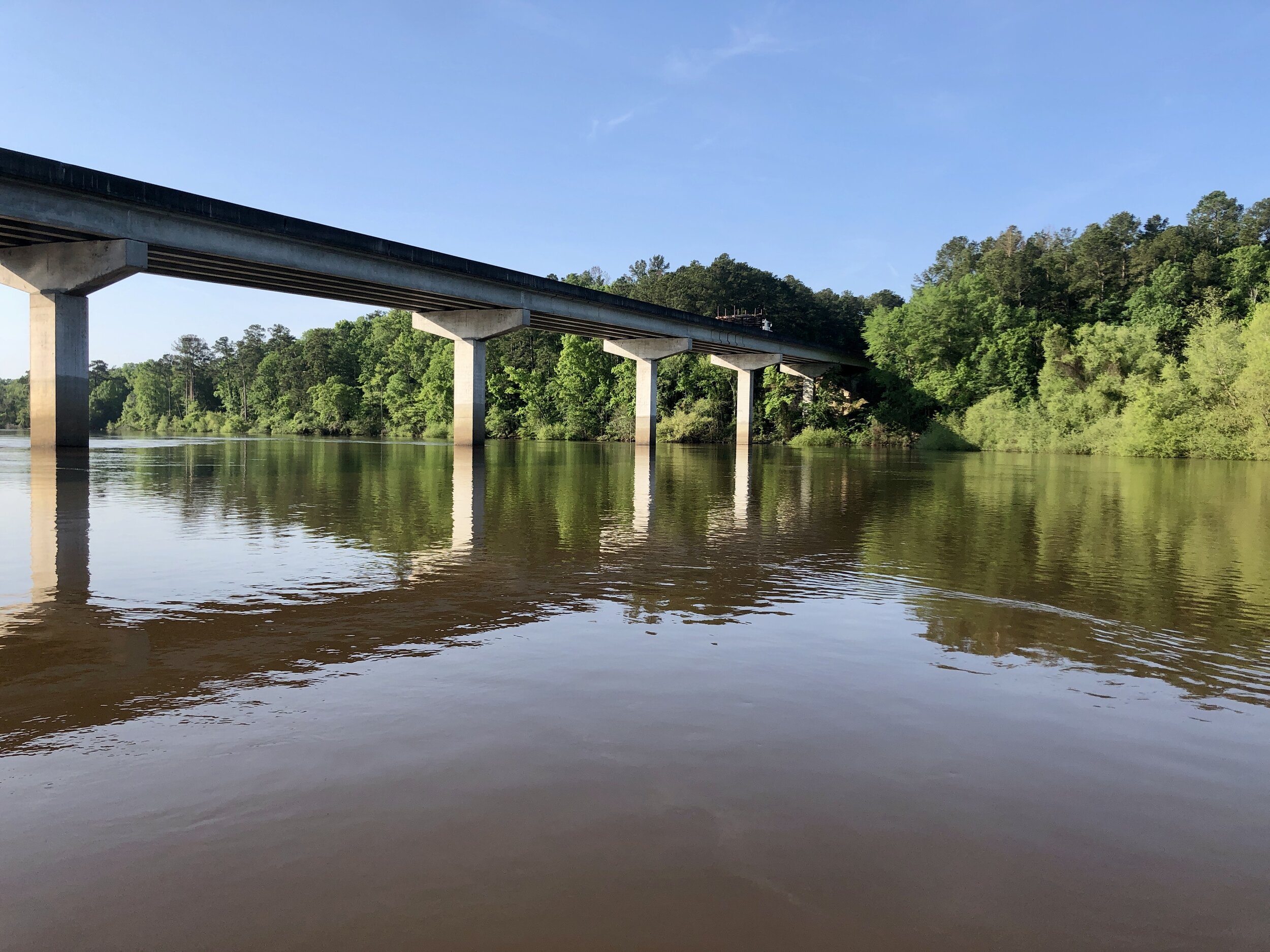
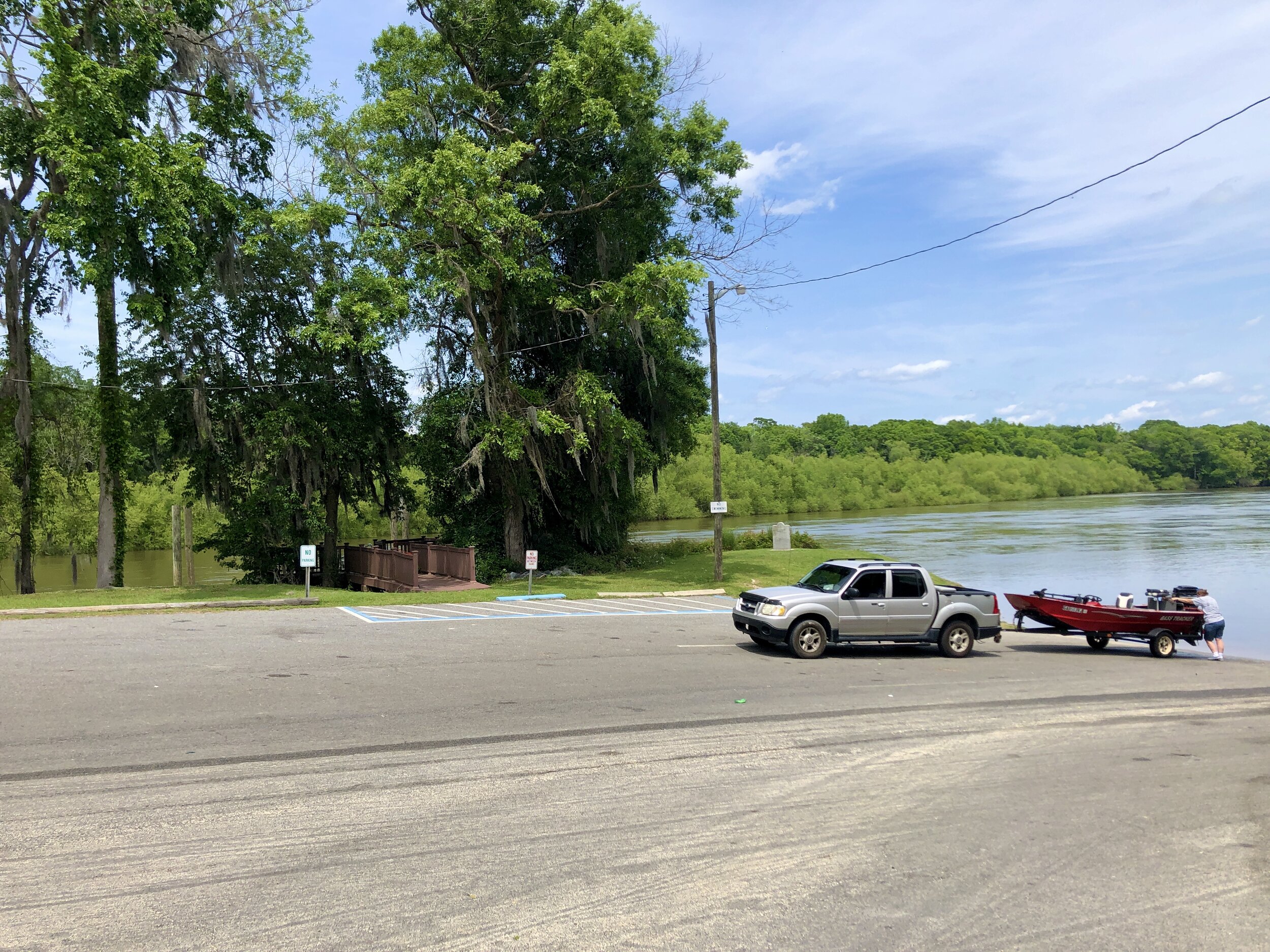
The doc and trestle at Altamaha Regional Park, where my journey ended after 109 river miles and two-and-a half days.
The Altamaha Regional Park is an unique members community with lots activity coming and going on the river.
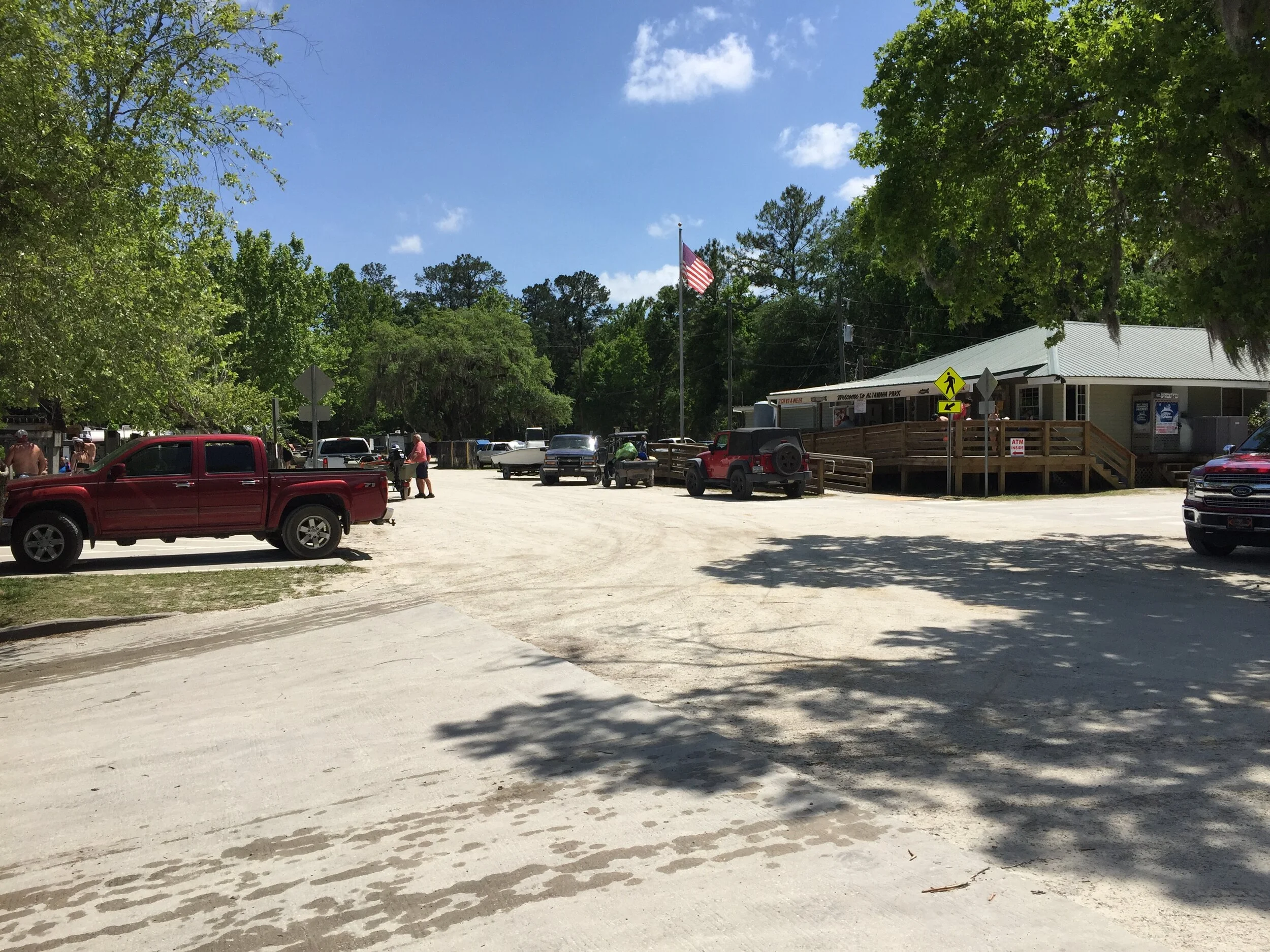
Back to the hustle and bustle
The lower stretch of the Altamaha was busy with activity on the Saturday that I ended the trip. It was a bit shocking after being alone with the river for a couple days. But cold beer and seafood in Darien helped me adjust.
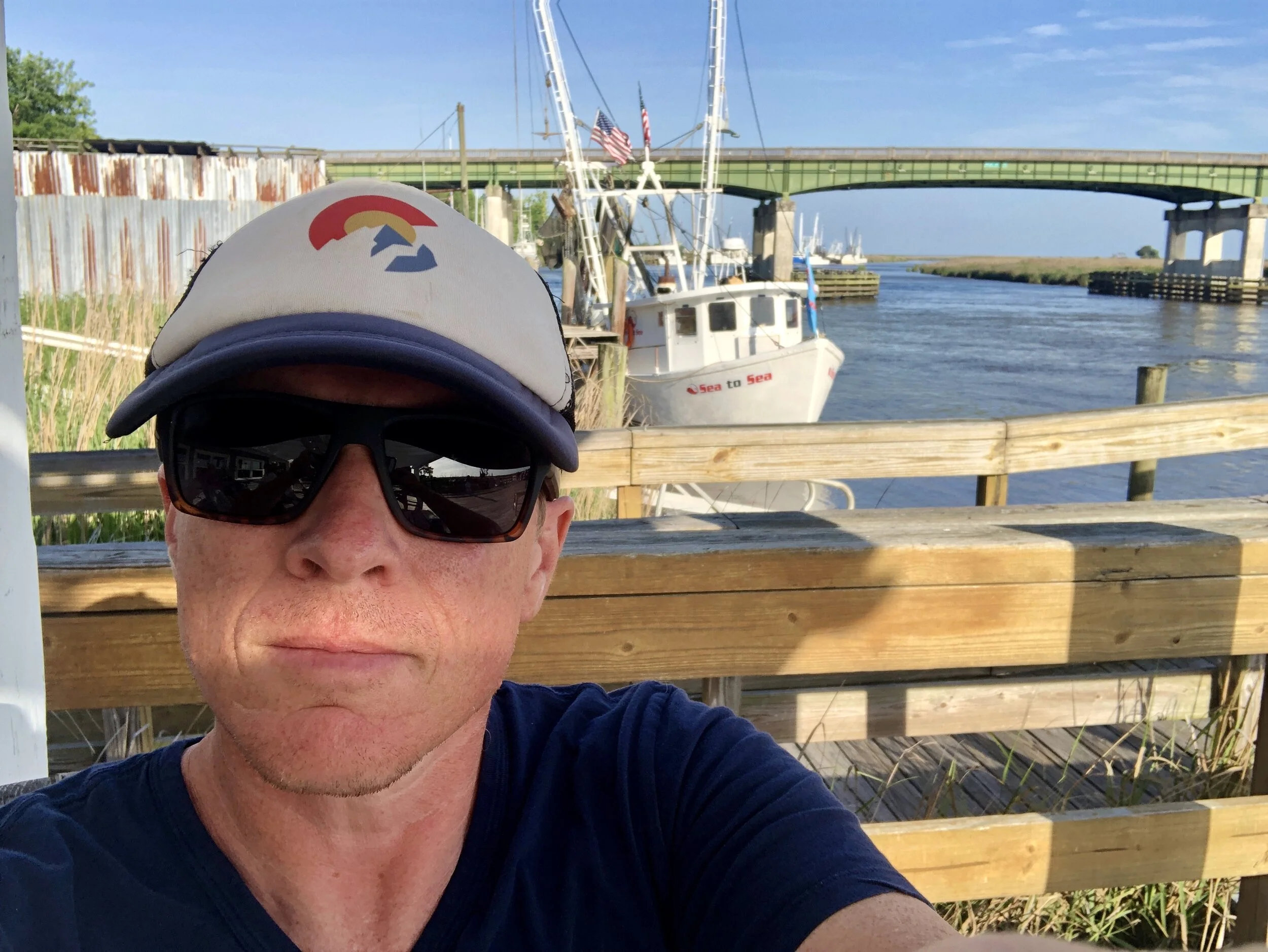
Looking for a place to eat along the water front in Darien.
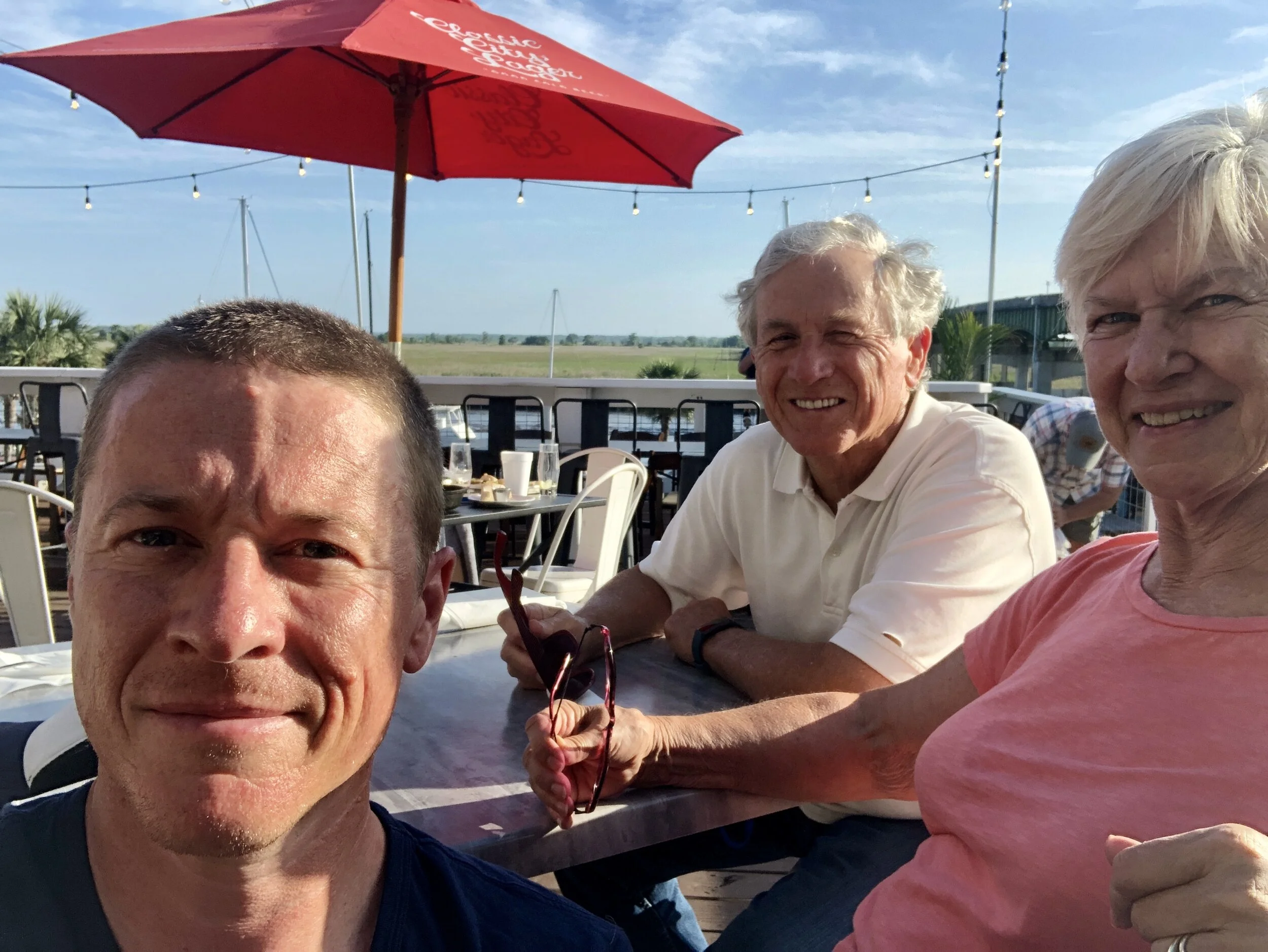
Back with my support crew, waiting for dinner and a beer.